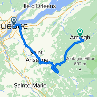
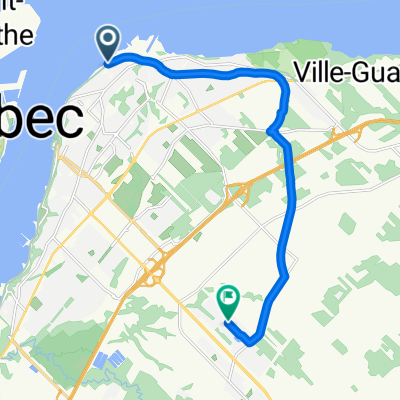
Cycling Route in Lévis, Quebec, Canada
Long run Québec
1

Open this route in the Bikemap app

Open this route in Bikemap Web
71
km
Distance
Distance
188
m
Ascent
Ascent
177
m
Descent
Descent
-:--
h
Duration
Duration
--
km/h
Avg. Speed
Avg. Speed
51
m
Max. Elevation
Max. Elevation