Cycling Route in Butzbach, Hesse, Germany
2011-04-17-RTF-Nieder-Weisel
1

Open this route in the Bikemap app

Open this route in Bikemap Web
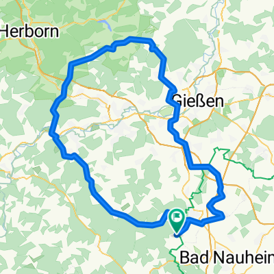
122
km
Distance
Distance
493
m
Ascent
Ascent
493
m
Descent
Descent
-:--
h
Duration
Duration
--
km/h
Avg. Speed
Avg. Speed
---
m
Max. Elevation
Max. Elevation