Cycling Route in Dombóvár, Tolna megye, Hungary
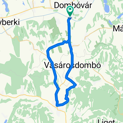
Dombóvár - Gödre Rókahegyi Geodéziai torony
0

Open this route in the Bikemap app

Open this route in Bikemap Web
21
km
Distance
Distance
259
m
Ascent
Ascent
101
m
Descent
Descent
-:--
h
Duration
Duration
--
km/h
Avg. Speed
Avg. Speed
271
m
Max. Elevation
Max. Elevation