Premium Badge Download on the App Store Get it on Google Play Turn-by-turn Navigation Offline Maps Bike Type Optimized Routing Premium Maps Custom Bike Computer Export Routes Route Previews Fall Detection Premium Support

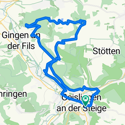
Cycling Route in Geislingen an der Steige, Baden-Württemberg, Germany

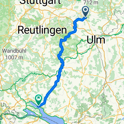
Ab Geislingen-AA-HDH-Langenau

0
Open this route in the Bikemap app

Open this route in the Bikemap app

Open this route in Bikemap Web

Open this route in Bikemap Web

151 km
Distance
1391 m
Ascent
1346 m
Descent
9:51 h
Duration
-- km/h
Avg. Speed
715 m
Max. Elevation

About This Route

Bis Langenau=100 km, bis Ulm=120 km

Ab Westerst.bis Langenau =120 km,ab Ulm bis Langenau =140 km

This cycling route is ideal for: Road bike

You will cycle on the following surfaces: Paved

Customize this cycling route with the Bikemap route planner.

Make it yours!

Did you know? You can use this route as a template in our cycling route planner if you don't wish to start from scratch. Customize it based on your needs to plan your perfect cycling tour.

Open it in the app