Premium Badge Download on the App Store Get it on Google Play Turn-by-turn Navigation Offline Maps Bike Type Optimized Routing Premium Maps Custom Bike Computer Export Routes Route Previews Fall Detection Premium Support

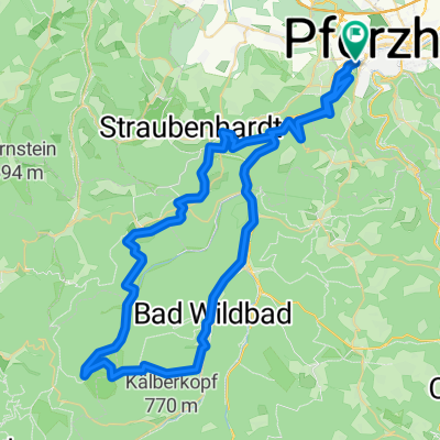
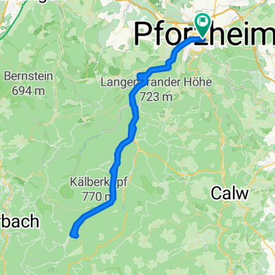
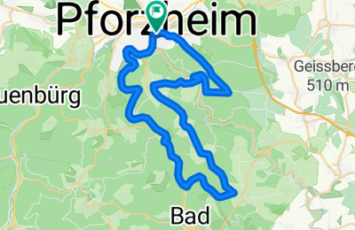
Cycling Route in Pforzheim, Baden-Württemberg, Germany

Dillwhitestone2Monbachvalley

1
Open this route in the Bikemap app

Open this route in the Bikemap app

Open this route in Bikemap Web

Open this route in Bikemap Web

43 km
Distance
506 m
Ascent
506 m
Descent
-:-- h
Duration
-- km/h
Avg. Speed
--- m
Max. Elevation

About This Route

Schnelle Runde durch Nagold- und Würmtal.

Aus Pforzheim raus geht es durch Dillweißenstein das Nagoldtal hinaus bis Unterreichenbach - und das überwiegend auf angenehm wenig befahrenem Radweg. In Unterreichenbach folgt man nach kurzer Straßenetappe dem Radweg ins Monbachtal. Jetzt geht es bergauf - der Aufstieg zieht sich recht moderat bis hinauf nach Neuhausen. Von dort geht es in schneller Fahrt über Schellbronn, Hohenwart und Huchenfeld nach Würm. Jetzt beginnt noch eine letzte Steigung hinauf zur Käfersteige, von dort geht es dann fast eben über das Seehaus wieder hinein nach Pforzheim.

This cycling route is ideal for: Road bike

You will cycle on the following surfaces: Paved

Customize this cycling route with the Bikemap route planner.

Make it yours!

Did you know? You can use this route as a template in our cycling route planner if you don't wish to start from scratch. Customize it based on your needs to plan your perfect cycling tour.

Open it in the app