Premium Badge Download on the App Store Get it on Google Play Turn-by-turn Navigation Offline Maps Bike Type Optimized Routing Premium Maps Custom Bike Computer Export Routes Route Previews Fall Detection Premium Support

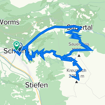
Cycling Route in Schruns, Vorarlberg, Austria

Wasserstubental Tour

0
Open this route in the Bikemap app

Open this route in the Bikemap app

Open this route in Bikemap Web

Open this route in Bikemap Web

59 km
Distance
1525 m
Ascent
1526 m
Descent
-:-- h
Duration
-- km/h
Avg. Speed
1834 m
Max. Elevation

About This Route

Aktivpark Montafon – Schruns – Silbertal – Alpengasthaus Fellimännle – Jausenstation Hasahüsli – Wasserstubental – Obere Wasserstubenalpe – Bergstation Sonnenkopfbahn – Talstation Sonnenkopfbahn – Dalaas – Braz – Stallehr – Lorüns – St. Anton im Montafon – Vandans – Aktivpark Montafon

Customize this cycling route with the Bikemap route planner.

Make it yours!

Did you know? You can use this route as a template in our cycling route planner if you don't wish to start from scratch. Customize it based on your needs to plan your perfect cycling tour.

Open it in the app