Premium Badge Download on the App Store Get it on Google Play Turn-by-turn Navigation Offline Maps Bike Type Optimized Routing Premium Maps Custom Bike Computer Export Routes Route Previews Fall Detection Premium Support

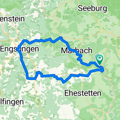
Cycling Route in Münsingen, Baden-Württemberg, Germany

Münsingen - Rauher Stein

0
Open this route in the Bikemap app

Open this route in the Bikemap app

Open this route in Bikemap Web

Open this route in Bikemap Web

92 km
Distance
1380 m
Ascent
1293 m
Descent
-:-- h
Duration
-- km/h
Avg. Speed
867 m
Max. Elevation

About This Route

AktivitätRadfahrenDistanz92,3 kmErstellt2021-08-07 09:30:52Max. Tempo63,0 km/hPace (Min/Km)03:54 min/kmEnergieverbrauch21728 KJPunkte3738Ges.Tempo > 0Tempo Ø15,4 km/h17,5 km/hTrackzeit6 h : 00 min : 45 sec5 h : 16 min : 20 secMin. Höhe541 mMax. Höhe839 mHöhenmeterDistanzBergauf2235 m27704 mBergab-2055 m32833 mEbene0 m31772 m

This cycling route is ideal for: MTB

You will cycle on the following surfaces: Paved Unpaved Gravel

Customize this cycling route with the Bikemap route planner.

Make it yours!

Did you know? You can use this route as a template in our cycling route planner if you don't wish to start from scratch. Customize it based on your needs to plan your perfect cycling tour.

Open it in the app