Premium Badge Download on the App Store Get it on Google Play Turn-by-turn Navigation Offline Maps Bike Type Optimized Routing Premium Maps Custom Bike Computer Export Routes Route Previews Fall Detection Premium Support

Cycling Route in Sárvár, Vas, Hungary

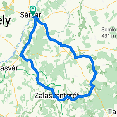
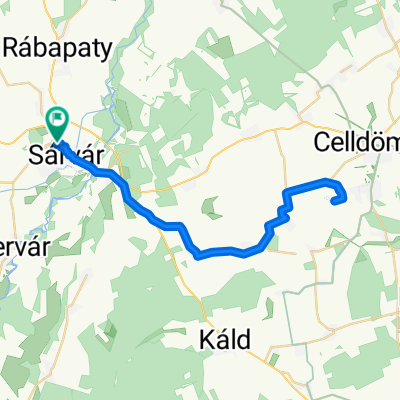
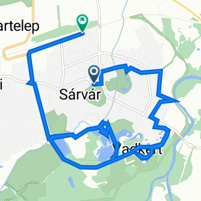
Sárvár - Porpác - Pecöl - Ikervár - Sárvár

0
Open this route in the Bikemap app

Open this route in the Bikemap app

Open this route in Bikemap Web

Open this route in Bikemap Web

36 km
Distance
57 m
Ascent
54 m
Descent
-:-- h
Duration
-- km/h
Avg. Speed
--- m
Max. Elevation

About This Route

0-6km: good paved road, moderate traffic between Sárvár and Csénye

6-14km: good paved road netween Csénye and Porpác, traffic almost non-existent

14-20km: gravel, good quality even in wet conditions. Quite OK for trekking/cross bikes

20-22km: poor dirt road until entering Pecöl

22-29km: good paved road, low traffic.

29-32km: good paved road, moderate traffic

32-33km: poor dirt road between Újmajor and Sarvar with lots of potholes, still, in dry weather you can ride with a roadbike on one track. In wet conditions, you may want to take the same road you left Sarvar

33-36km: good paved road within the boundaries of the town.

This cycling route is ideal for: MTB

You will cycle on the following surfaces: Paved Unpaved Gravel

Customize this cycling route with the Bikemap route planner.

Make it yours!

Did you know? You can use this route as a template in our cycling route planner if you don't wish to start from scratch. Customize it based on your needs to plan your perfect cycling tour.

Open it in the app