Cycling Route in Sankt Marienkirchen bei Schärding, Upper Austria, Austria
Suben - Vilshofen
1

Open this route in the Bikemap app

Open this route in Bikemap Web
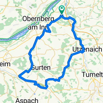
76
km
Distance
Distance
487
m
Ascent
Ascent
521
m
Descent
Descent
-:--
h
Duration
Duration
--
km/h
Avg. Speed
Avg. Speed
494
m
Max. Elevation
Max. Elevation