Cycling Route in Langen, Lower Saxony, Germany
Team Langen RK CUX-Süd4
0

Open this route in the Bikemap app

Open this route in Bikemap Web
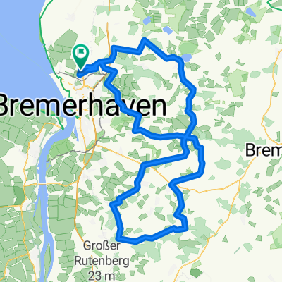
122
km
Distance
Distance
247
m
Ascent
Ascent
238
m
Descent
Descent
-:--
h
Duration
Duration
--
km/h
Avg. Speed
Avg. Speed
37
m
Max. Elevation
Max. Elevation