Premium Badge Download on the App Store Get it on Google Play Turn-by-turn Navigation Offline Maps Bike Type Optimized Routing Premium Maps Custom Bike Computer Export Routes Route Previews Fall Detection Premium Support

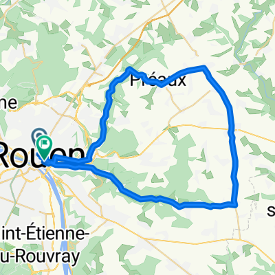
Cycling Route in Rouen, Normandy, France

Boucle Plateau nord, vallée du Cailly, plateau ouest, boucle de la Seine

4
Open this route in the Bikemap app

Open this route in the Bikemap app

Open this route in Bikemap Web

Open this route in Bikemap Web

72 km
Distance
395 m
Ascent
396 m
Descent
-:-- h
Duration
-- km/h
Avg. Speed
171 m
Max. Elevation

About This Route

via MSA, BG, Bosc-Guérard, Montville, Malaunay, Eslettes, Pissy-Pôville, St Jean du Cardonnnay, La Vaupalière, Hénouville, St Martin de Boscherville, Quevillon, St Pierre de Manneville, Sahurs, Hautot sur Seine, Val de la Haye, Canteleu

Customize this cycling route with the Bikemap route planner.

Make it yours!

Did you know? You can use this route as a template in our cycling route planner if you don't wish to start from scratch. Customize it based on your needs to plan your perfect cycling tour.

Open it in the app