Premium Badge Download on the App Store Get it on Google Play Turn-by-turn Navigation Offline Maps Bike Type Optimized Routing Premium Maps Custom Bike Computer Export Routes Route Previews Fall Detection Premium Support

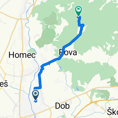
Cycling Route in Vir, Občina Domžale, Slovenia

Rodica-GEOSS-3

0
Open this route in the Bikemap app

Open this route in the Bikemap app

Open this route in Bikemap Web

Open this route in Bikemap Web

24 km
Distance
668 m
Ascent
327 m
Descent
-:-- h
Duration
-- km/h
Avg. Speed
781 m
Max. Elevation

About This Route

Rodica-ob Bistrici navzdol do Ihana, Goričica pri Ihanu, Dobovlje, Sv. Trojica, Zg. Javorščica, po panoramsiki poti nad Gradom Tuštanj do zaselka Grmače, vzpon proti  vrhu Kilovec in spust mimo zaselka Zgornja Gora do cilja v Sp. Slivni (GEOSS).

This cycling route is ideal for: MTB City bike

You will cycle on the following surfaces: Paved Unpaved Gravel

This route is based on Rodica-GEOSS-2 .

Customize this cycling route with the Bikemap route planner.

Make it yours!

Did you know? You can use this route as a template in our cycling route planner if you don't wish to start from scratch. Customize it based on your needs to plan your perfect cycling tour.

Open it in the app