Cycling Route in Vilshofen, Bavaria, Germany
Vilshofen-Niederranna (Donauradweg)
0

Open this route in the Bikemap app

Open this route in Bikemap Web
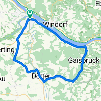
59
km
Distance
Distance
92
m
Ascent
Ascent
115
m
Descent
Descent
-:--
h
Duration
Duration
--
km/h
Avg. Speed
Avg. Speed
316
m
Max. Elevation
Max. Elevation