Premium Badge Download on the App Store Get it on Google Play Turn-by-turn Navigation Offline Maps Bike Type Optimized Routing Premium Maps Custom Bike Computer Export Routes Route Previews Fall Detection Premium Support

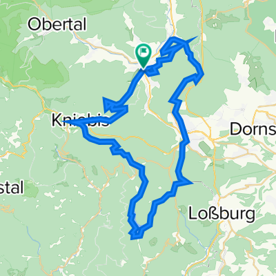
Cycling Route in Baiersbronn, Baden-Württemberg, Germany

Welzheim-Schwarzwald 2.Tag

1
Open this route in the Bikemap app

Open this route in the Bikemap app

Open this route in Bikemap Web

Open this route in Bikemap Web

185 km
Distance
3086 m
Ascent
2959 m
Descent
-:-- h
Duration
-- km/h
Avg. Speed
1197 m
Max. Elevation

About This Route

2. Tag Baiersbronn 0,0 Friedrichstal 2,5 Freudenstadt 6,1 Oberer Zwieselberg 14,2 (Bad Ripoldsau) 20,4 Bad Ripoldsau Schapbach 27,7 Untertal 29,8 Walke 34,3 Oberwolfach 38,0 Wolfach 40,4 (Hausach) 44,5 Gutach 48,6 Steingrün -> L107 50,2 Oberprechtal 60,4 Prechtal 64,5 Elzach 66,1 Oberwinden 69,4 Niederwinden 71,8 Gutach im Breisgau 75,1 (Waldkirch) -> L186 78,0 Altersbach 80,8 Kandelrasthaus 89,4 Sägendobel 96,3 St. Peter 99,6 Steighof 100,0 Obertal 103,3 Eschbach 104,1 Reckenberg 105,7 Stegen 107,4 Kirchzarten 109,4 Oberried-> L126 113,5 Hintertal 115,5 Schmelzplatz 120,0 Notschrei 123,7 Muggenbrunn 126,1 (Aftersteg) 128,1 Todtnau 131,1 Utzenfeld 135,5 Königshütte 138,4 Wieden 141,2 Oberneuhof 148,6 Unterneuhof 149,0 Spielweg 155,1 Obermünstertal 156,7 Untermünstertal 160,4 Münsterhalden 165,5 Mittelheubronn 171,8 Neuenweg 174,7 Bürchau 177,6 Langensee 181,6 Tegernau 185

This cycling route is ideal for: Road bike

You will cycle on the following surfaces: Paved

Customize this cycling route with the Bikemap route planner.

Make it yours!

Did you know? You can use this route as a template in our cycling route planner if you don't wish to start from scratch. Customize it based on your needs to plan your perfect cycling tour.

Open it in the app