Premium Badge Download on the App Store Get it on Google Play Turn-by-turn Navigation Offline Maps Bike Type Optimized Routing Premium Maps Custom Bike Computer Export Routes Route Previews Fall Detection Premium Support

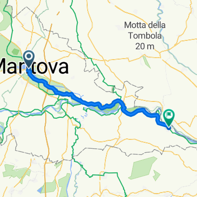
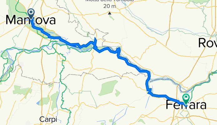
Cycling Route in Mantova, Lombardy, Italy

Mantova -Ostiglia- Ferrara.

0
Open this route in the Bikemap app

Open this route in the Bikemap app

Open this route in Bikemap Web

Open this route in Bikemap Web

111 km
Distance
181 m
Ascent
195 m
Descent
-:-- h
Duration
-- km/h
Avg. Speed
29 m
Max. Elevation

About This Route

OruxMaps


Nome: mantova


Orario inizio: 03/01/2015 12:03


Orario fine: 03/01/2015 17:42

Distanza: 68,2km (05:39)

Tempo movimento: 04:20

Velocità media: 12,1km/h

Velocità media mov.: 15,7km/h

Max. Velocità: 29,4km/h

Altitudine minima: -28m

Altitudine massima: 5m

Velocità di salita: 128,9m/h

Velocità di discesa: -154,9m/h

Dislivello positivo: 152m

Perdita di elevazione: -134m

Tempo di salita: 01:10

Tempo di discesa: 00:52

Customize this cycling route with the Bikemap route planner.

Make it yours!

Did you know? You can use this route as a template in our cycling route planner if you don't wish to start from scratch. Customize it based on your needs to plan your perfect cycling tour.

Open it in the app