Premium Badge Download on the App Store Get it on Google Play Turn-by-turn Navigation Offline Maps Bike Type Optimized Routing Premium Maps Custom Bike Computer Export Routes Route Previews Fall Detection Premium Support

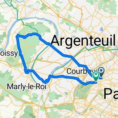
Cycling Route in Levallois-Perret, Île-de-France Region, France

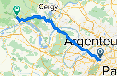
De 11 Rue Baudin, Levallois-Perret à 14 Rue des Bouts de la Ville, Gaillon-sur-Montcient

0
Open this route in the Bikemap app

Open this route in the Bikemap app

Open this route in Bikemap Web

Open this route in Bikemap Web

40 km
Distance
354 m
Ascent
321 m
Descent
2:20 h
Duration
17.0 km/h
Avg. Speed
185 m
Max. Elevation
Customize this cycling route with the Bikemap route planner.

Make it yours!

Did you know? You can use this route as a template in our cycling route planner if you don't wish to start from scratch. Customize it based on your needs to plan your perfect cycling tour.

Open it in the app