Cycling Route in Hohen Neuendorf, Brandenburg, Germany
233km_Uckermark_Schorfh_iUZS
0

Open this route in the Bikemap app

Open this route in Bikemap Web
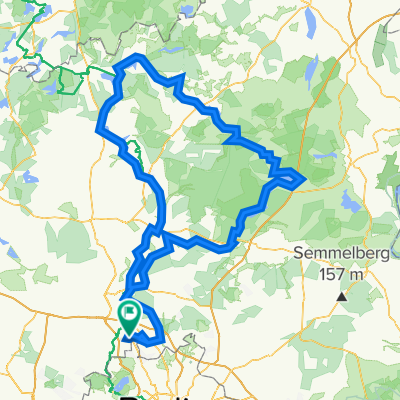
233
km
Distance
Distance
1155
m
Ascent
Ascent
1157
m
Descent
Descent
-:--
h
Duration
Duration
--
km/h
Avg. Speed
Avg. Speed
104
m
Max. Elevation
Max. Elevation