Cycling Route in Scheidegg, Bavaria, Germany
Wanderung auf dem Höhenweg von Scheidegg zum Pfänder - der Klassiker
1

Open this route in the Bikemap app

Open this route in Bikemap Web
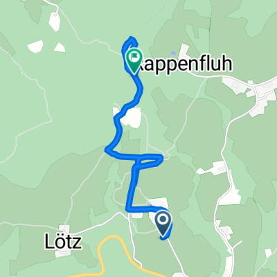
8
km
Distance
Distance
239
m
Ascent
Ascent
155
m
Descent
Descent
-:--
h
Duration
Duration
--
km/h
Avg. Speed
Avg. Speed
1065
m
Max. Elevation
Max. Elevation