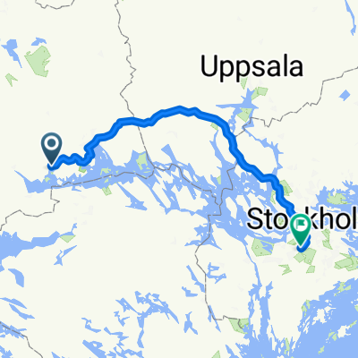
Kolbäck à vélo
Découvre une carte de 32 itinéraires et pistes cyclables près de Kolbäck, créés par notre communauté.
Portrait de région
Fais connaissance avec Kolbäck
Trouve l’itinéraire à vélo qui te convient à Kolbäck, où nous avons 32 pistes cyclables à explorer. La plupart des gens enfourchent leur vélo pour rouler ici au mois de juillet.
1 486 km
Distance enregistrée
32
Itinéraires cyclables
1 853
Population
Communauté
Utilisateurs les plus actifs à Kolbäck
De notre communauté
Les meilleurs itinéraires à vélo dans et autour de Kolbäck
Stromsholm - Balsta
Itinéraire à vélo à Kolbäck, Comté de Västmanland, Suède
- 112,1 km
- Distance
- 239 m
- Montée
- 235 m
- Descente
Strömsholm-Dufweholm
Itinéraire à vélo à Kolbäck, Comté de Västmanland, Suède
- 95,7 km
- Distance
- 474 m
- Montée
- 433 m
- Descente
ECT2020 Mälaren norra
Itinéraire à vélo à Kolbäck, Comté de Västmanland, Suède
- 145,5 km
- Distance
- 240 m
- Montée
- 241 m
- Descente
SC 0200-0250
Itinéraire à vélo à Kolbäck, Comté de Västmanland, Suède
- 50 km
- Distance
- 173 m
- Montée
- 148 m
- Descente
Découvrez plus d'itinéraires
 Kolbäck-Julita
- Distance
- 66 km
- Montée
- 201 m
- Descente
- 186 m
- Emplacement
- Kolbäck, Comté de Västmanland, Suède
 ECT2020-T22 MälarenRunt Dag 2
- Distance
- 157,5 km
- Montée
- 1 216 m
- Descente
- 1 200 m
- Emplacement
- Kolbäck, Comté de Västmanland, Suède
 Tingshusgatan 21 to Tingshusgatan 21
- Distance
- 75,4 km
- Montée
- 413 m
- Descente
- 416 m
- Emplacement
- Kolbäck, Comté de Västmanland, Suède
 Oskarsborgsvägen 37, Strömsholm to Oskarsborgsvägen 37, Strömsholm
- Distance
- 11,9 km
- Montée
- 135 m
- Descente
- 133 m
- Emplacement
- Kolbäck, Comté de Västmanland, Suède
 UTNÄS 11 to Valskogsvägen 70
- Distance
- 29,9 km
- Montée
- 139 m
- Descente
- 139 m
- Emplacement
- Kolbäck, Comté de Västmanland, Suède
 Eriksbergsvägen 7–9, Hallstahammar to Västtunagatan 7, Hallstahammar
- Distance
- 4,1 km
- Montée
- 16 m
- Descente
- 0 m
- Emplacement
- Kolbäck, Comté de Västmanland, Suède
 Stationsgatan 12A, Kolbäck nach Hökartorget 2, Köping
- Distance
- 15,8 km
- Montée
- 73 m
- Descente
- 74 m
- Emplacement
- Kolbäck, Comté de Västmanland, Suède
 Dag 2
Dag 2- Distance
- 134,8 km
- Montée
- 430 m
- Descente
- 390 m
- Emplacement
- Kolbäck, Comté de Västmanland, Suède


