
Steinheid à vélo
Découvre une carte de 47 itinéraires et pistes cyclables près de Steinheid, créés par notre communauté.
Portrait de région
Fais connaissance avec Steinheid
Trouve l’itinéraire à vélo qui te convient à Steinheid, où nous avons 47 pistes cyclables à explorer.
2 276 km
Distance enregistrée
47
Itinéraires cyclables
1 311
Population
Communauté
Utilisateurs les plus actifs à Steinheid


De notre communauté
Les meilleurs itinéraires à vélo dans et autour de Steinheid

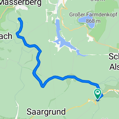
Skiwanderung Werraquelle
Itinéraire à vélo à Steinheid, Thuringe, Allemagne
- 19,1 km
- Distance
- 259 m
- Montée
- 258 m
- Descente

KT5: 6+7_Spechtsbrunn - Brennergrün
Itinéraire à vélo à Steinheid, Thuringe, Allemagne
- 29,5 km
- Distance
- 345 m
- Montée
- 458 m
- Descente

Großes Tor - Stausee Scheibe mit Umrundung
Itinéraire à vélo à Steinheid, Thuringe, Allemagne
- 25,5 km
- Distance
- 297 m
- Montée
- 421 m
- Descente

Wetzhausen Saalfeld
Itinéraire à vélo à Steinheid, Thuringe, Allemagne
- 111 km
- Distance
- 352 m
- Montée
- 849 m
- Descente
Découvrez plus d'itinéraires
 Talsperre Goldisthal tangieren
- Distance
- 12,2 km
- Montée
- 358 m
- Descente
- 358 m
- Emplacement
- Steinheid, Thuringe, Allemagne
 Langlaufroute Friedrichshöhe
- Distance
- 21,2 km
- Montée
- 225 m
- Descente
- 225 m
- Emplacement
- Steinheid, Thuringe, Allemagne
 Runde Th. Schiefergebirge
- Distance
- 50,1 km
- Montée
- 867 m
- Descente
- 867 m
- Emplacement
- Steinheid, Thuringe, Allemagne
 Alte Straße 15, Neuhaus am Rennweg nach Ulmenweg 17, Weitramsdorf
- Distance
- 38,1 km
- Montée
- 504 m
- Descente
- 914 m
- Emplacement
- Steinheid, Thuringe, Allemagne
 Steinheid-Fellberg
- Distance
- 12,2 km
- Montée
- 183 m
- Descente
- 180 m
- Emplacement
- Steinheid, Thuringe, Allemagne
 2018-02-24 LL Steinheid
- Distance
- 10,2 km
- Montée
- 128 m
- Descente
- 127 m
- Emplacement
- Steinheid, Thuringe, Allemagne
 Lengthy Donnerstag Ride In Sachsenbrunn
- Distance
- 22 km
- Montée
- 317 m
- Descente
- 319 m
- Emplacement
- Steinheid, Thuringe, Allemagne
 Rennsteig 04
- Distance
- 63,2 km
- Montée
- 517 m
- Descente
- 810 m
- Emplacement
- Steinheid, Thuringe, Allemagne