Sonthofen à vélo
Découvre une carte de 1 029 itinéraires et pistes cyclables près de Sonthofen, créés par notre communauté.
Portrait de région
Fais connaissance avec Sonthofen
Trouve l’itinéraire à vélo qui te convient à Sonthofen, où nous avons 1 029 pistes cyclables à explorer. La plupart des gens enfourchent leur vélo pour rouler ici aux mois de juillet et août.
73 071 km
Distance enregistrée
1 029
Itinéraires cyclables
21 285
Population
Communauté
Utilisateurs les plus actifs à Sonthofen
Itinéraires soigneusement sélectionnés
Découvre Sonthofen à travers ces collections
De notre communauté
Les meilleurs itinéraires à vélo dans et autour de Sonthofen
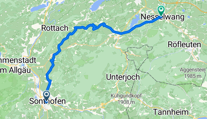
Route von Landgasthof Post - Gasthof Zum Löwen
Itinéraire à vélo à Sonthofen, Bavière, Allemagne
- 30,5 km
- Distance
- 594 m
- Montée
- 467 m
- Descente
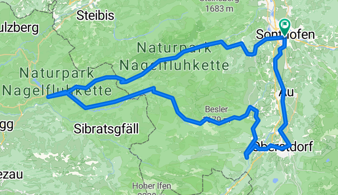
Richard-Wagner-Straße, Sonthofen nach Richard-Wagner-Straße, Sonthofen
Itinéraire à vélo à Sonthofen, Bavière, Allemagne
- 84,6 km
- Distance
- 2 350 m
- Montée
- 2 349 m
- Descente
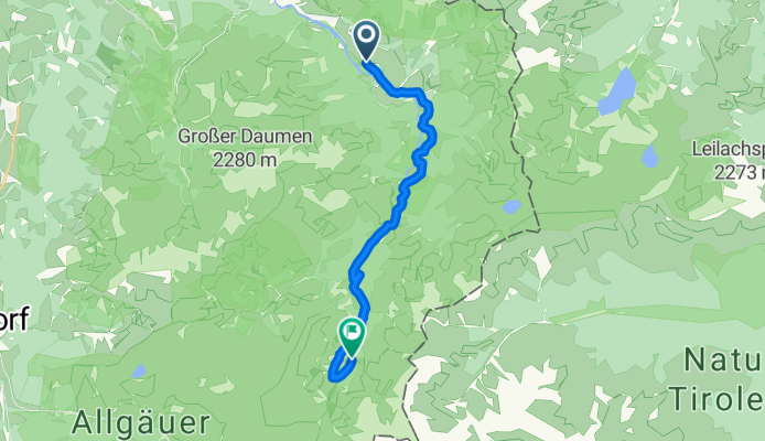
Route zu Giebelhaus
Itinéraire à vélo à Sonthofen, Bavière, Allemagne
- 12,7 km
- Distance
- 709 m
- Montée
- 244 m
- Descente
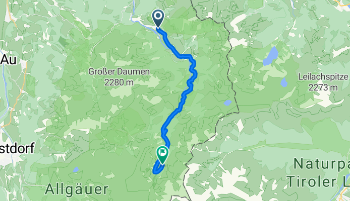
Von Hinterstein bis Bad Hindelang
Itinéraire à vélo à Sonthofen, Bavière, Allemagne
- 13,9 km
- Distance
- 709 m
- Montée
- 248 m
- Descente
Découvrez plus d'itinéraires
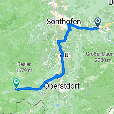 Zillenbachstraße, Bad Hindelang nach Rohrmoos, Oberstdorf
- Distance
- 27,7 km
- Montée
- 633 m
- Descente
- 375 m
- Emplacement
- Sonthofen, Bavière, Allemagne
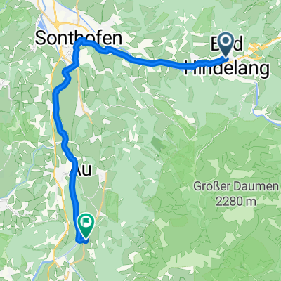 Bad Hindelang über Sonthofen nach Rubi
- Distance
- 18 km
- Montée
- 106 m
- Descente
- 142 m
- Emplacement
- Sonthofen, Bavière, Allemagne
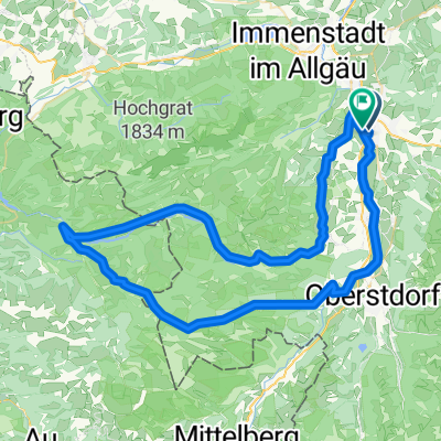 Allgäu-Almentour am Ifen var
- Distance
- 72 km
- Montée
- 1 933 m
- Descente
- 1 936 m
- Emplacement
- Sonthofen, Bavière, Allemagne
 D_SüdBayern_Sonthofen: "Allgaeu Panorama Marathon"
- Distance
- 41,5 km
- Montée
- 1 134 m
- Descente
- 1 133 m
- Emplacement
- Sonthofen, Bavière, Allemagne
 Eichendorffstraße nach Giebelstraße
- Distance
- 22,9 km
- Montée
- 514 m
- Descente
- 188 m
- Emplacement
- Sonthofen, Bavière, Allemagne
 Dießen Rennrad
- Distance
- 104,4 km
- Montée
- 1 226 m
- Descente
- 1 396 m
- Emplacement
- Sonthofen, Bavière, Allemagne
 Sonthofen - Immenstadt - Untermaiselstein - Runde
- Distance
- 37,5 km
- Montée
- 186 m
- Descente
- 183 m
- Emplacement
- Sonthofen, Bavière, Allemagne
 Vom Ostrachtal zur Alp Mitterhaus (1081 m)
- Distance
- 20,5 km
- Montée
- 415 m
- Descente
- 415 m
- Emplacement
- Sonthofen, Bavière, Allemagne
Itinéraires depuis Sonthofen
À vélo de
Sonthofen à Burgberg
À vélo de
Sonthofen à Oberstdorf


