
Schillingsfürst à vélo
Découvre une carte de 169 itinéraires et pistes cyclables près de Schillingsfürst, créés par notre communauté.
Portrait de région
Fais connaissance avec Schillingsfürst
Trouve l’itinéraire à vélo qui te convient à Schillingsfürst, où nous avons 169 pistes cyclables à explorer. La plupart des gens enfourchent leur vélo pour rouler ici aux mois de juin et août.
10 565 km
Distance enregistrée
169
Itinéraires cyclables
2 847
Population
Communauté
Utilisateurs les plus actifs à Schillingsfürst


Itinéraires soigneusement sélectionnés
Découvre Schillingsfürst à travers ces collections
Tour
Tour
De notre communauté
Les meilleurs itinéraires à vélo dans et autour de Schillingsfürst
Der Wörnitzradweg
Itinéraire à vélo à Schillingsfürst, Bavière, Allemagne
- 106,3 km
- Distance
- 364 m
- Montée
- 458 m
- Descente

Schillingsfürst ---> Schaffhausen (CH)
Itinéraire à vélo à Schillingsfürst, Bavière, Allemagne
- 503,6 km
- Distance
- 711 m
- Montée
- 791 m
- Descente

B2-11/B12c: Schillingsfürst - Fremdingen, 66,1km 550hm
Itinéraire à vélo à Schillingsfürst, Bavière, Allemagne
- 66,1 km
- Distance
- 671 m
- Montée
- 720 m
- Descente

Tagestour 1 St - Großheubach (Schillingsfürst - Hamburg)
Itinéraire à vélo à Schillingsfürst, Bavière, Allemagne
- 149,1 km
- Distance
- 1 810 m
- Montée
- 2 176 m
- Descente
Découvrez plus d'itinéraires
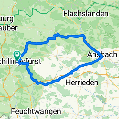 Schillingsfürst, Kloster Sulz, Aurach, Ansbach, Lehrberg, Colmberg, Schillingsfürstrholz, Leutershausen, Schillingsfürst
- Distance
- 65,5 km
- Montée
- 568 m
- Descente
- 565 m
- Emplacement
- Schillingsfürst, Bavière, Allemagne
 Radschmetterling_rot
- Distance
- 54 km
- Montée
- 482 m
- Descente
- 485 m
- Emplacement
- Schillingsfürst, Bavière, Allemagne
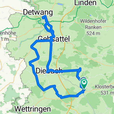 Route Schillingsfürst, Neuweiler Diebach Rothenburg, Insingen, Oberoestheim, Sch
- Distance
- 46,3 km
- Montée
- 577 m
- Descente
- 575 m
- Emplacement
- Schillingsfürst, Bavière, Allemagne
 Mittlere Trainingsstrecke
- Distance
- 33,3 km
- Montée
- 318 m
- Descente
- 312 m
- Emplacement
- Schillingsfürst, Bavière, Allemagne
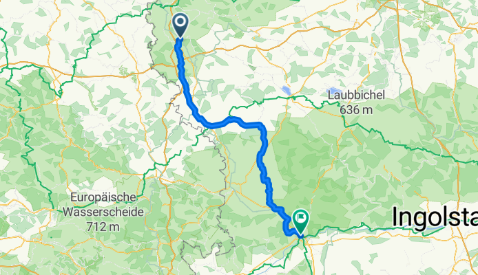
 Sch --> Nürnberg Aug 2009
- Distance
- 79,4 km
- Montée
- 377 m
- Descente
- 601 m
- Emplacement
- Schillingsfürst, Bavière, Allemagne
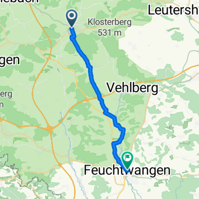 From Schillingsfürst to Feuchtwangen
- Distance
- 16,9 km
- Montée
- 118 m
- Descente
- 174 m
- Emplacement
- Schillingsfürst, Bavière, Allemagne
 Radschmetterling_gruen
- Distance
- 66,1 km
- Montée
- 640 m
- Descente
- 640 m
- Emplacement
- Schillingsfürst, Bavière, Allemagne
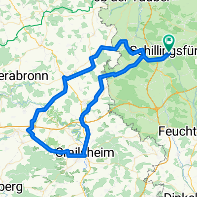 Route in Schillingsfürst Inzingen, Roth am See, Crailsheim, SChillingsfürst
- Distance
- 82,2 km
- Montée
- 747 m
- Descente
- 746 m
- Emplacement
- Schillingsfürst, Bavière, Allemagne