Rottach-Egern à vélo
Découvre une carte de 660 itinéraires et pistes cyclables près de Rottach-Egern, créés par notre communauté.
Portrait de région
Fais connaissance avec Rottach-Egern
Trouve l’itinéraire à vélo qui te convient à Rottach-Egern, où nous avons 660 pistes cyclables à explorer. La plupart des gens enfourchent leur vélo pour rouler ici aux mois de juillet et août.
39 920 km
Distance enregistrée
660
Itinéraires cyclables
5 106
Population
Communauté
Utilisateurs les plus actifs à Rottach-Egern
Itinéraires soigneusement sélectionnés
Découvre Rottach-Egern à travers ces collections
Tour
De notre communauté
Les meilleurs itinéraires à vélo dans et autour de Rottach-Egern
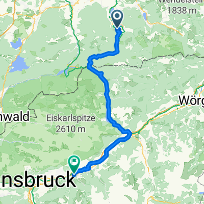
Pfingstrunde
Itinéraire à vélo à Rottach-Egern, Bavière, Allemagne
- 55,2 km
- Distance
- 796 m
- Montée
- 798 m
- Descente
Auernalm, Tegernsee, Rottach-Egern
Itinéraire à vélo à Rottach-Egern, Bavière, Allemagne
- 35,1 km
- Distance
- 737 m
- Montée
- 735 m
- Descente
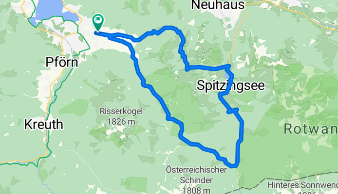
tegernsee - spitzingsattel - miesbach
Itinéraire à vélo à Rottach-Egern, Bavière, Allemagne
- 74,1 km
- Distance
- 829 m
- Montée
- 829 m
- Descente
Tegernsee, Spitzingsee
Itinéraire à vélo à Rottach-Egern, Bavière, Allemagne
- 31,5 km
- Distance
- 815 m
- Montée
- 815 m
- Descente
Découvrez plus d'itinéraires
 MTB Festival Tegernseer Tal Strecke B
- Distance
- 55,1 km
- Montée
- 1 633 m
- Descente
- 1 599 m
- Emplacement
- Rottach-Egern, Bavière, Allemagne
 Gotzing Taubenberg Holz
- Distance
- 64,1 km
- Montée
- 594 m
- Descente
- 585 m
- Emplacement
- Rottach-Egern, Bavière, Allemagne
 Ringberg-MoniAlm-Valepp-Spitzingsee-Schliersee-Ringberg
- Distance
- 56,6 km
- Montée
- 834 m
- Descente
- 834 m
- Emplacement
- Rottach-Egern, Bavière, Allemagne
 Niklasreut - Spitzingsattel - Valepp
- Distance
- 70,9 km
- Montée
- 1 047 m
- Descente
- 844 m
- Emplacement
- Rottach-Egern, Bavière, Allemagne
 Tegernsee nach Venecia
- Distance
- 525,6 km
- Montée
- 1 360 m
- Descente
- 2 094 m
- Emplacement
- Rottach-Egern, Bavière, Allemagne
 Große Tegernsee Südrunde
- Distance
- 70,8 km
- Montée
- 1 874 m
- Descente
- 1 873 m
- Emplacement
- Rottach-Egern, Bavière, Allemagne
 2010-Tegernse, Spitzingsee, Schliersee
- Distance
- 74,7 km
- Montée
- 1 322 m
- Descente
- 1 322 m
- Emplacement
- Rottach-Egern, Bavière, Allemagne
 Etappe 2: Tegernsee - Inntal
- Distance
- 80,2 km
- Montée
- 1 382 m
- Descente
- 1 540 m
- Emplacement
- Rottach-Egern, Bavière, Allemagne
Itinéraires depuis Rottach-Egern
À vélo de
Rottach-Egern à Kreuth


