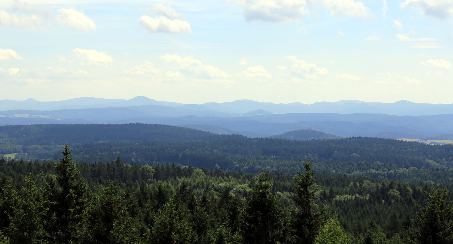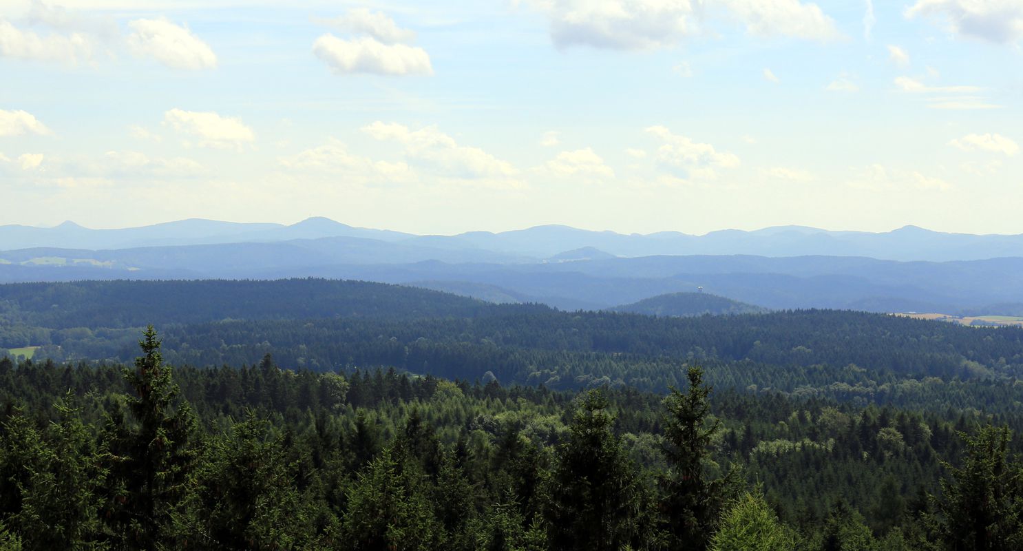
Rathmannsdorf à vélo
Découvre une carte de 167 itinéraires et pistes cyclables près de Rathmannsdorf, créés par notre communauté.
Portrait de région
Fais connaissance avec Rathmannsdorf
Trouve l’itinéraire à vélo qui te convient à Rathmannsdorf, où nous avons 167 pistes cyclables à explorer. La plupart des gens enfourchent leur vélo pour rouler ici aux mois de mai et août.
13 893 km
Distance enregistrée
167
Itinéraires cyclables
1 155
Population
Communauté
Utilisateurs les plus actifs à Rathmannsdorf
De notre communauté
Les meilleurs itinéraires à vélo dans et autour de Rathmannsdorf
Bad Schandau-Zeughaus-Mezni Louka-Schmilka-Bad Schandau
Itinéraire à vélo à Rathmannsdorf, État libre de Saxe, Allemagne
- 46,8 km
- Distance
- 526 m
- Montée
- 526 m
- Descente
schöne Trail-Runde über Bastei-Wehlen-Lilienstein
Itinéraire à vélo à Rathmannsdorf, État libre de Saxe, Allemagne
- 49,5 km
- Distance
- 633 m
- Montée
- 633 m
- Descente
Hoher Schneeberg (Děčínský Sněžník)
Itinéraire à vélo à Rathmannsdorf, État libre de Saxe, Allemagne
- 62,6 km
- Distance
- 774 m
- Montée
- 774 m
- Descente
Elbe-Radweg: Bad Schandau - Dresden
Itinéraire à vélo à Rathmannsdorf, État libre de Saxe, Allemagne
- 44 km
- Distance
- 277 m
- Montée
- 287 m
- Descente
Découvrez plus d'itinéraires
 Bad Schandau - Meißen - Bad - Schandau
- Distance
- 72 km
- Montée
- 446 m
- Descente
- 453 m
- Emplacement
- Rathmannsdorf, État libre de Saxe, Allemagne
 Bad Schandau - DD - Bad Schandau
- Distance
- 46,9 km
- Montée
- 369 m
- Descente
- 384 m
- Emplacement
- Rathmannsdorf, État libre de Saxe, Allemagne
 Panoramatour sächsiche Schweiz, nur D-Teil.
- Distance
- 69,5 km
- Montée
- 686 m
- Descente
- 679 m
- Emplacement
- Rathmannsdorf, État libre de Saxe, Allemagne
 Bad Schandau - Schneeberg - (Großer Zirnstein) - Schöna - Bad Schandau
- Distance
- 56,2 km
- Montée
- 909 m
- Descente
- 911 m
- Emplacement
- Rathmannsdorf, État libre de Saxe, Allemagne
 Kirnitzsch
- Distance
- 49,1 km
- Montée
- 298 m
- Descente
- 296 m
- Emplacement
- Rathmannsdorf, État libre de Saxe, Allemagne
 F100N423Elberadweg Tag 1 und Tag 2 und weitere
- Distance
- 423,4 km
- Montée
- 165 m
- Descente
- 223 m
- Emplacement
- Rathmannsdorf, État libre de Saxe, Allemagne
 Etappe 9: Bad Schandau - Dresden
- Distance
- 43,8 km
- Montée
- 103 m
- Descente
- 108 m
- Emplacement
- Rathmannsdorf, État libre de Saxe, Allemagne
 Grenzfahrt(en)
- Distance
- 48,3 km
- Montée
- 966 m
- Descente
- 959 m
- Emplacement
- Rathmannsdorf, État libre de Saxe, Allemagne


