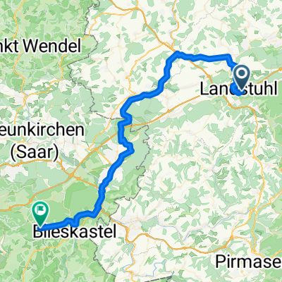
Long Loop
- 12,1 km
- 180 m
- 167 m
- Landstuhl, Rhénanie-Palatinat, Allemagne

Découvre une carte de 159 itinéraires et pistes cyclables près de Landstuhl, créés par notre communauté.
Portrait de région
Trouve l’itinéraire à vélo qui te convient à Landstuhl, où nous avons 159 pistes cyclables à explorer. La plupart des gens enfourchent leur vélo pour rouler ici aux mois de avril et juin.
5 932 km
Distance enregistrée
159
Itinéraires cyclables
8 989
Population
Communauté
De notre communauté
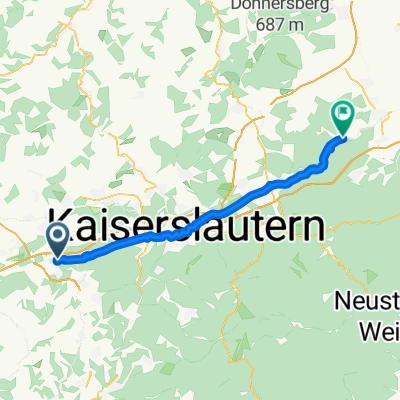
Itinéraire à vélo à Landstuhl, Rhénanie-Palatinat, Allemagne
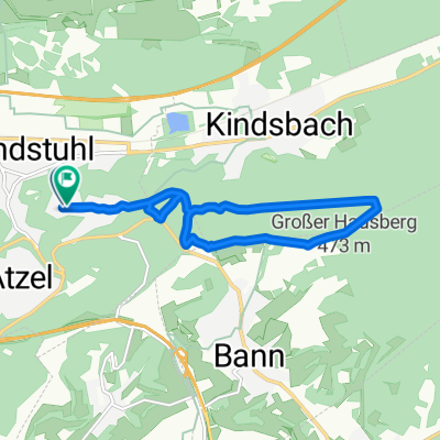
Itinéraire à vélo à Landstuhl, Rhénanie-Palatinat, Allemagne
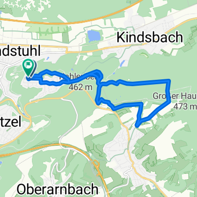
Itinéraire à vélo à Landstuhl, Rhénanie-Palatinat, Allemagne
Itinéraire à vélo à Landstuhl, Rhénanie-Palatinat, Allemagne