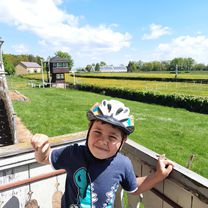
Mit der Apple Watch am 27. Juli, 14:59 aufgenommen
- 46,5 km
- 520 m
- 519 m
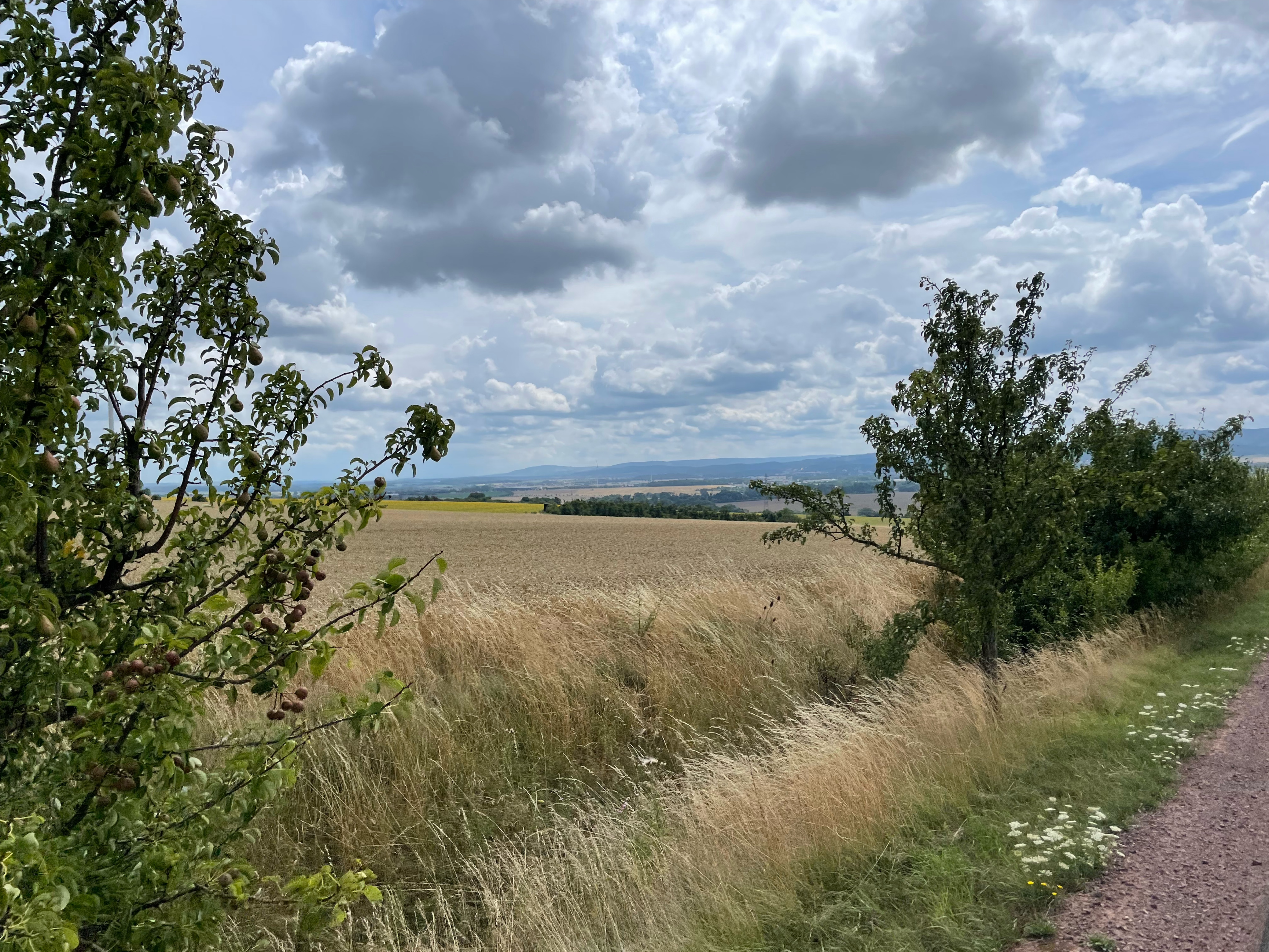
- Gotha, Thuringe, Allemagne

Trouve l’itinéraire à vélo qui te convient à Gotha, où nous avons 810 pistes cyclables à explorer. La plupart des gens enfourchent leur vélo pour rouler ici aux mois de mai et juillet.
Distance enregistrée
Itinéraires cyclables
Population
Itinéraire à vélo à Gotha, Thuringe, Allemagne
Itinéraire à vélo à Gotha, Thuringe, Allemagne
Itinéraire à vélo à Gotha, Thuringe, Allemagne