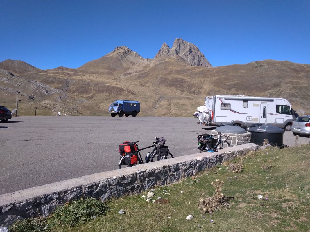
Laruns à vélo
Découvre une carte de 597 itinéraires et pistes cyclables près de Laruns, créés par notre communauté.
Portrait de région
Fais connaissance avec Laruns
Trouve l’itinéraire à vélo qui te convient à Laruns, où nous avons 597 pistes cyclables à explorer. La plupart des gens enfourchent leur vélo pour rouler ici aux mois de mai et juin.
64 563 km
Distance enregistrée
597
Itinéraires cyclables
1 546
Population
Communauté
Utilisateurs les plus actifs à Laruns
De notre communauté
Les meilleurs itinéraires à vélo dans et autour de Laruns
05.08.07 Col d´Aubisque
Itinéraire à vélo à Laruns, Nouvelle-Aquitaine, France
- 81,4 km
- Distance
- 2 704 m
- Montée
- 2 814 m
- Descente
Eaux Chaudes-Yebra de Basa. Octubre 2019.
Itinéraire à vélo à Laruns, Nouvelle-Aquitaine, France
- 77,3 km
- Distance
- 1 275 m
- Montée
- 1 081 m
- Descente
2012 T3
Itinéraire à vélo à Laruns, Nouvelle-Aquitaine, France
- 107 km
- Distance
- 2 880 m
- Montée
- 2 745 m
- Descente
Mont-de-Marsan - Laruns
Itinéraire à vélo à Laruns, Nouvelle-Aquitaine, France
- 203,3 km
- Distance
- 2 322 m
- Montée
- 2 790 m
- Descente
Découvrez plus d'itinéraires
 Laruns- Laruns
- Distance
- 94,3 km
- Montée
- 2 212 m
- Descente
- 2 204 m
- Emplacement
- Laruns, Nouvelle-Aquitaine, France
 Siradan - Artouste
- Distance
- 236,2 km
- Montée
- 5 383 m
- Descente
- 6 890 m
- Emplacement
- Laruns, Nouvelle-Aquitaine, France
 Laruns - Superbagnères
- Distance
- 229,5 km
- Montée
- 5 682 m
- Descente
- 4 398 m
- Emplacement
- Laruns, Nouvelle-Aquitaine, France
 Laruns - Bagneres-de-Bigorre
- Distance
- 112,4 km
- Montée
- 2 891 m
- Descente
- 2 863 m
- Emplacement
- Laruns, Nouvelle-Aquitaine, France
 ETAPA 4
- Distance
- 137,9 km
- Montée
- 2 226 m
- Descente
- 2 211 m
- Emplacement
- Laruns, Nouvelle-Aquitaine, France
 Laruns-Luz Saint Souveur
- Distance
- 92,4 km
- Montée
- 3 394 m
- Descente
- 3 233 m
- Emplacement
- Laruns, Nouvelle-Aquitaine, France
 Laruns-Aubisque-Laruns
- Distance
- 87,4 km
- Montée
- 1 615 m
- Descente
- 1 619 m
- Emplacement
- Laruns, Nouvelle-Aquitaine, France
 1A-Laruns-Aubisque-Soulor-Hautacam-Argelès
- Distance
- 80,6 km
- Montée
- 2 417 m
- Descente
- 2 482 m
- Emplacement
- Laruns, Nouvelle-Aquitaine, France
Itinéraires depuis Laruns
Excursion à vélo d’une journée de
Laruns à Campan
Excursion à vélo d’une journée de
Laruns à Arette
Itinéraires vers Laruns
Excursion à vélo d’une journée de
Saint-Jean-Pied-de-Port à Laruns
Excursion à vélo d’une journée de
Argelès-Gazost à Laruns


