
Osseo à vélo
Découvre une carte de 7 itinéraires et pistes cyclables près de Osseo, créés par notre communauté.
Portrait de région
Fais connaissance avec Osseo
Trouve l’itinéraire à vélo qui te convient à Osseo, où nous avons 7 pistes cyclables à explorer.
508 km
Distance enregistrée
7
Itinéraires cyclables
1 701
Population


De notre communauté
Les meilleurs itinéraires à vélo dans et autour de Osseo
Osseo to Ellsworth Track
Itinéraire à vélo à Osseo, Wisconsin, États Unis
This is the actual GPS track of our ride from Osseo to Ellsworth, Wisconsin. We followed the Buffalo River State Trail out of Osseo and found it very nice, but just west of Eleva it became too sandy for a loaded tandem touring tike. So we left the planned route and used the shoulder on Highway 10 for quite a ways. Very hilly between Plum Cty and Ellsworth.
- 118,6 km
- Distance
- 411 m
- Montée
- 402 m
- Descente

Osseo to Stevens Point, Wisconsin
Itinéraire à vélo à Osseo, Wisconsin, États Unis
The third leg of a trip from Minneapolis, Minnesota to Stevens Point, Wisconsin. This section avoided major roads as much as possible, though with some heavy traffic on Hwy 73, due to a detour from Hwy 10 (presumably a temporary situation).
- 163,4 km
- Distance
- 355 m
- Montée
- 325 m
- Descente

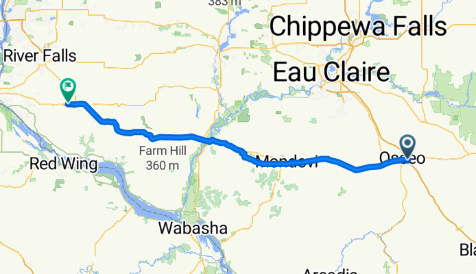
Osseo to Ellsworth
Itinéraire à vélo à Osseo, Wisconsin, États Unis
A leg of our Stevens Point to Minneapolis Route. The Beta version of Google Bike Maps originaly sent us down the Buffalo River Trail all the way to Mondovi; we found it to be deeply sandy west of Eleva, not passable for a touring trike tandem. We ended up on US-10 all the way from Eleva to Ellsworth. Several big hills (moderate grade, but very long, between Plum City and Ellsworth
- 115,1 km
- Distance
- 434 m
- Montée
- 442 m
- Descente
