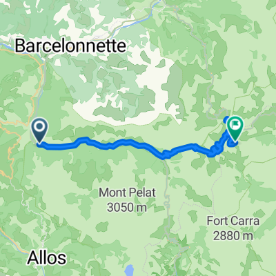


Barcelonnette Col de la Mostière
- 61,6 km
- 2412 m
- 1318 m
- Barcelonnette, Prowansja-Alpy-Lazurowe Wybrzeże, Francja

Dostosuj własną trasę na podstawie naszego szablonu lub zobacz, jak nasza społeczność najchętniej jeździ z Barcelonnette do Jausiers.
Szablon trasy

This scenic ride starts in the cozy Alpine town of Barcelonnette, nestled in the heart of the Ubaye Valley. Known for its colorful Mexican-influenced villas and lively summer vibe, Barcelonnette deserves a stroll before you set off.
The route to Jausiers is short but packs in some classic Alpine charm. Over roughly 9.6 kilometers, you’ll cruise mostly on quiet roads, rolling past green meadows, mountain vistas, and the clear rush of the Ubaye River. The climb is gentle—about 164 meters of elevation gain—so you get those mountain feels without burning out your legs. Most of the way is smooth asphalt, though you’ll hit a few gravel patches, so a hybrid or sturdy road bike is best.
Jausiers, your destination, is famous as the gateway to the epic Col de la Bonette, one of Europe’s highest paved roads. But even if you aren’t tackling that giant, the town’s charming square and old château are perfect for relaxing. All in all, it’s a great ride for a relaxing alpine morning!
Wspólnota
Od naszej społeczności
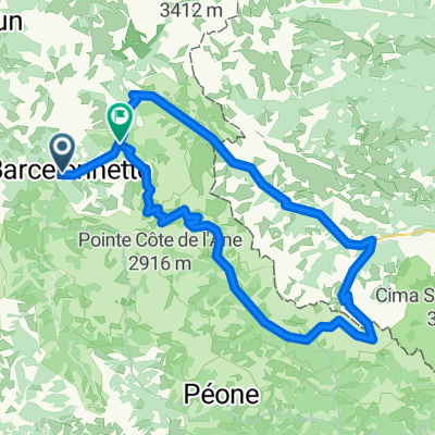
Trasa rowerowa w Barcelonnette, Prowansja-Alpy-Lazurowe Wybrzeże, Francja
Trasa rowerowa w Barcelonnette, Prowansja-Alpy-Lazurowe Wybrzeże, Francja
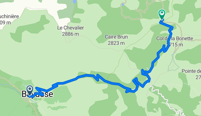
Trasa rowerowa w Barcelonnette, Prowansja-Alpy-Lazurowe Wybrzeże, Francja
Trasa rowerowa w Barcelonnette, Prowansja-Alpy-Lazurowe Wybrzeże, Francja
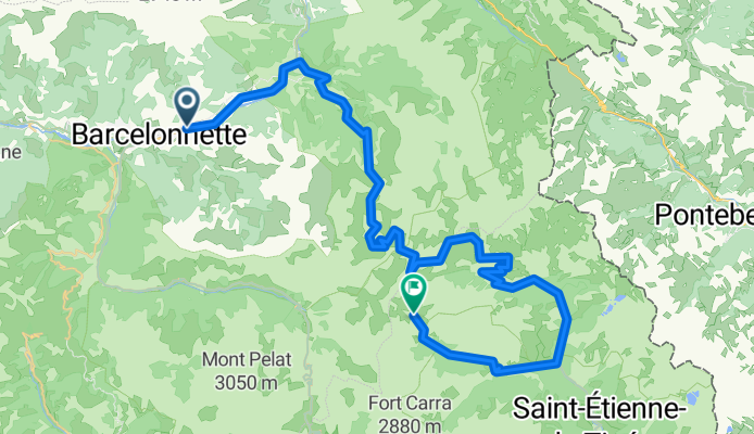
Trasa rowerowa w Barcelonnette, Prowansja-Alpy-Lazurowe Wybrzeże, Francja
Trasa rowerowa w Barcelonnette, Prowansja-Alpy-Lazurowe Wybrzeże, Francja
Trasa rowerowa w Barcelonnette, Prowansja-Alpy-Lazurowe Wybrzeże, Francja
Trasa rowerowa w Barcelonnette, Prowansja-Alpy-Lazurowe Wybrzeże, Francja
Trasa rowerowa w Barcelonnette, Prowansja-Alpy-Lazurowe Wybrzeże, Francja
Trasa rowerowa w Barcelonnette, Prowansja-Alpy-Lazurowe Wybrzeże, Francja
Trasa rowerowa w Barcelonnette, Prowansja-Alpy-Lazurowe Wybrzeże, Francja
Trasa rowerowa w Barcelonnette, Prowansja-Alpy-Lazurowe Wybrzeże, Francja
Jednodniowa wycieczka rowerowa od
Jednodniowa wycieczka rowerowa od
Jednodniowa wycieczka rowerowa od
Jednodniowa wycieczka rowerowa od