Premium Badge Aus dem App Store herunterladen Hol dir Bikemap auf Google Play Turn-by-Turn-Navigation Offline Maps Bike Type Optimized Routing Premium Maps Individueller Fahrradcomputer Routen-Export Route Previews Sturzerkennung Premium Support

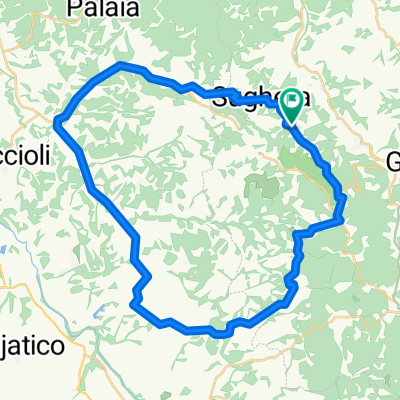
Radroute in Montaione, Toskana, Italien

Montaione official trail #6

5
Route in der Bikemap App öffnen

Route in der Bikemap App öffnen

Diese Route in Bikemap Web öffnen

Diese Route in Bikemap Web öffnen

24 km
Distanz
502 m
Aufstieg
502 m
Abstieg
-:-- h
Dauer
-- km/h
ø-Tempo
--- m
Max. Höhe

Über diese Route

23 km (4 on asphalt, 19 off road), 500 m. elevation. It starts in La Sughera (200 m. on the sea level) and crosses the Collegalli estate till the village of Balconevisi. From there it decends till the bottom of the Egola river valley (40 m. on the sea level), follows the valley for about 6 km. and then climbs up again to San Paolo and ends in La Sughera. Starting/end point: La Sughera. There are two restaurants in La Sughera that are temporarily closed (as for spring 2016). One restaurant in Balconevisi. Public water standpipes in Sughera and in Balconevisi.   

Diese Fahrradroute ist ideal für: MTB

Passe diese Fahrradroute mit dem Bikemap-Routenplaner an.

Passe diese Route an!

Wusstest du schon? Du kannst diese Route als Vorlage in unserem Routenplaner verwenden, und sie ganz einfach nach deinen Bedürfnissen anpassen. So planst du noch schneller deine perfekte Radtour.

In der App öffnen