
Genf-Nizza
A cycling tour with 10 stages, starting in Geneva, Canton of Geneva, Switzerland.OverviewAbout this tour
This cycling tour has 10 stages and a total length of
690.8 km.
- 10
- Routes
- -:--
- Duration
- 690.8 km
- Distance
- ---
- Avg. speed
- 13,704 m
- Ascent
- 13,954 m
- Descent
cubescreated this 6 years ago

Genf-Thorens-Gieres
Cycling route in Geneva, Canton of Geneva, Switzerland
- 39.4 km
- Distance
- 747 m
- Ascent
- 457 m
- Descent

Thorens-Glieres-Flumet, Tag 2
Cycling route in Thorens-Glières, Auvergne-Rhône-Alpes, France
- 55 km
- Distance
- 1,197 m
- Ascent
- 968 m
- Descent

Flumet-Bourg St Maurice, Tag 3
Cycling route in Praz-sur-Arly, Auvergne-Rhône-Alpes, France
- 63.8 km
- Distance
- 2,096 m
- Ascent
- 2,186 m
- Descent
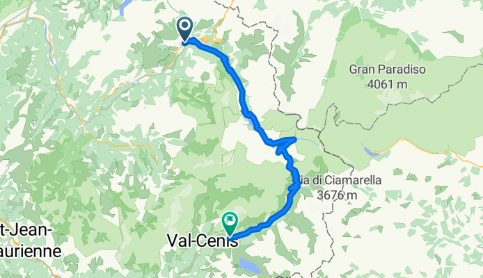
Col de l Iseran´Tag 4
Cycling route in Bourg-Saint-Maurice, Auvergne-Rhône-Alpes, France
- 83.1 km
- Distance
- 2,078 m
- Ascent
- 1,482 m
- Descent

Lanslebourg-Briancon, Tag 5
Cycling route in Modane, Auvergne-Rhône-Alpes, France
- 113.7 km
- Distance
- 2,102 m
- Ascent
- 2,145 m
- Descent

Briancon-Ailefroide/Barre des Ecrins, Tag 6
Cycling route in Briançon, Provence-Alpes-Côte d'Azur Region, France
- 28.3 km
- Distance
- 577 m
- Ascent
- 300 m
- Descent

Ailefroide-Barcelonnette, Tag 9
Cycling route in Le Monêtier-les-Bains, Provence-Alpes-Côte d'Azur Region, France
- 91 km
- Distance
- 1,543 m
- Ascent
- 1,903 m
- Descent

barcelonnette-Entrevaux
Cycling route in Barcelonnette, Provence-Alpes-Côte d'Azur Region, France
- 85.2 km
- Distance
- 1,341 m
- Ascent
- 2,005 m
- Descent

Entrevaux-Le bar sur Loup
Cycling route in Puget-Théniers, Provence-Alpes-Côte d'Azur Region, France
- 65.1 km
- Distance
- 1,466 m
- Ascent
- 1,665 m
- Descent

Le Bar sur Loup-Menton
Cycling route in Le Rouret, Provence-Alpes-Côte d'Azur Region, France
- 66.4 km
- Distance
- 557 m
- Ascent
- 843 m
- Descent