
Cycle network of Coburg district/city
Coburg Cycle Network
A cycling tour with 2 stages, starting in Coburg, Bavaria, Germany.
Overview
About this tour
Ride the city and district of Coburg on a connected web of bike routes in northern Bavaria. The network links Coburg with nearby towns, the Itz valley, rolling fields, and quiet forests.
Surfaces are mostly paved/asphalt with some gravel farm tracks and a few narrow paths. Most riding is on quiet roads and tracks, with only short hops on busier streets. It’s easy to stitch together short family spins or full‑day loops—start and finish anywhere in Coburg.
Highlights to aim for: the old town and Veste Coburg on the hill, river parks along the Itz, and classic Franconian villages around the district. Because surfaces vary a bit, slightly wider tires make things more comfortable. Watch for farm traffic on tracks and shared paths.
Follow local Radweg signs and use the map to mix segments to suit your time, mood, and weather. Great for sightseeing, everyday rides, and gentle countryside miles.
- 2
- Routes
- -:--
- Duration
- 42.1 km
- Distance
- ---
- Avg. speed
- 545 m
- Ascent
- 527 m
- Descent
Coburg Cycle Network
Stages of this tour
Coburg – Rödental Landpartie
Cycling route in Coburg, Bavaria, Germany
- 6.3 km
- Distance
- 85 m
- Ascent
- 51 m
- Descent

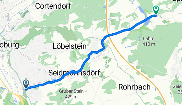
Tour Landpartie: Rödental – Coburg
Cycling route in Rödental, Bavaria, Germany
- 35.8 km
- Distance
- 460 m
- Ascent
- 476 m
- Descent