
LCN 68
Local Cycle Route 68
A collection of 1 cycling route.
Overview
About this collection
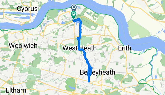
Looking for a chill everyday ride? Route 68 strings together mostly paved sections on quiet streets and proper cycleways, with just a couple of short rough bits. It’s roughly 14 km end-to-end with gentle rolling elevation (~86 m up, ~85 m down), so it’s easy to squeeze into a morning or weekend spin.
Expect a mix of protected paths and low-traffic roads, mostly smooth asphalt. There’s a tiny stretch of gravel and a brief track link—fine on hybrids and road bikes, just take it easy if it’s wet. Hop on anywhere along the route and ride a section or the whole thing; it works well for commuting, errands, or a relaxed cruise.
Tip: ride outside peak hours for the quietest vibe, bring lights if you’ll be out late, and follow local cycle signs to stay on course.
- 1
- Routes
- -:--
- Duration
- 13.9 km
- Distance
- ---
- Avg. speed
- 86 m
- Ascent
- 85 m
- Descent
Local Cycle Route 68
Routes in this collection
LCN 68
Cycling route in Abbey Wood, England, United Kingdom
- 13.9 km
- Distance
- 86 m
- Ascent
- 85 m
- Descent