
Gravel bike routes near you
Ride further off the beaten path with gravel adventures worldwide.
Discover with Bikemap
Looking for scenic gravel rides, forest roads, or remote backcountry trails?
Gravel bike routes take you beyond paved roads and into nature. Discover scenic forest tracks, quiet farm roads, and remote gravel paths ideal for adventure riding. Whether you’re planning a solo backcountry escape or a weekend ride with friends, Bikemap helps you find the best gravel routes with detailed surface data, elevation profiles, and route stats. Explore gravel cycling routes near you or around the world.
For your gravel bike
Explore the world’s best gravel routes
From alpine fire roads to coastal forest trails—these are the top-rated gravel routes from the Bikemap community. Get inspired and start planning your next ride.
 Zur Steirer Hütt'n Am Gutenmann
- Distance
- 31.6 km
- Ascent
- 840 m
- Descent
- 839 m
- Location
- Ternitz, Lower Austria, Austria
 Marias Land Loop mit Flatzer Wand - Mittel
- Distance
- 34.4 km
- Ascent
- 1,165 m
- Descent
- 1,164 m
- Location
- Ternitz, Lower Austria, Austria
 Uxbridge to Peterborough
- Distance
- 92.2 km
- Ascent
- 356 m
- Descent
- 428 m
- Location
- Uxbridge, Ontario, Canada
 Belwood to Elora and Back
- Distance
- 40.9 km
- Ascent
- 239 m
- Descent
- 240 m
 Central Valley Greenway / BC Parkway
- Distance
- 44 km
- Ascent
- 440 m
- Descent
- 443 m
- Location
- Vancouver, British Columbia, Canada
 Central Lonsdale - Circle to Cypress Mountain Ski Station
- Distance
- 56.1 km
- Ascent
- 1,594 m
- Descent
- 1,576 m
- Location
- North Vancouver, British Columbia, Canada
 gros/medialuna/antenas/piuchen/codegua/gros
- Distance
- 50.3 km
- Ascent
- 531 m
- Descent
- 555 m
- Location
- Graneros, O'Higgins Region, Chile
 gros/san joaqui/leonera/codegua/gros
- Distance
- 55.3 km
- Ascent
- 293 m
- Descent
- 321 m
- Location
- Graneros, O'Higgins Region, Chile
 Arrowtown to Queenstown — Tour Aotearoa
- Distance
- 34.4 km
- Ascent
- 319 m
- Descent
- 418 m
- Location
- Arrowtown, Otago, New Zealand
 Greymouth to Hokitika TA
- Distance
- 79.6 km
- Ascent
- 865 m
- Descent
- 876 m
- Location
- Greymouth, West Coast, New Zealand
 Round Mountain Loop 54km
- Distance
- 54.7 km
- Ascent
- 1,171 m
- Descent
- 1,169 m
- Location
- Pottsville Beach, New South Wales, Australia
 Tarraganda La, Tarraganda to High St, Bega
- Distance
- 49.3 km
- Ascent
- 1,338 m
- Descent
- 1,335 m
- Location
- Bega, New South Wales, Australia
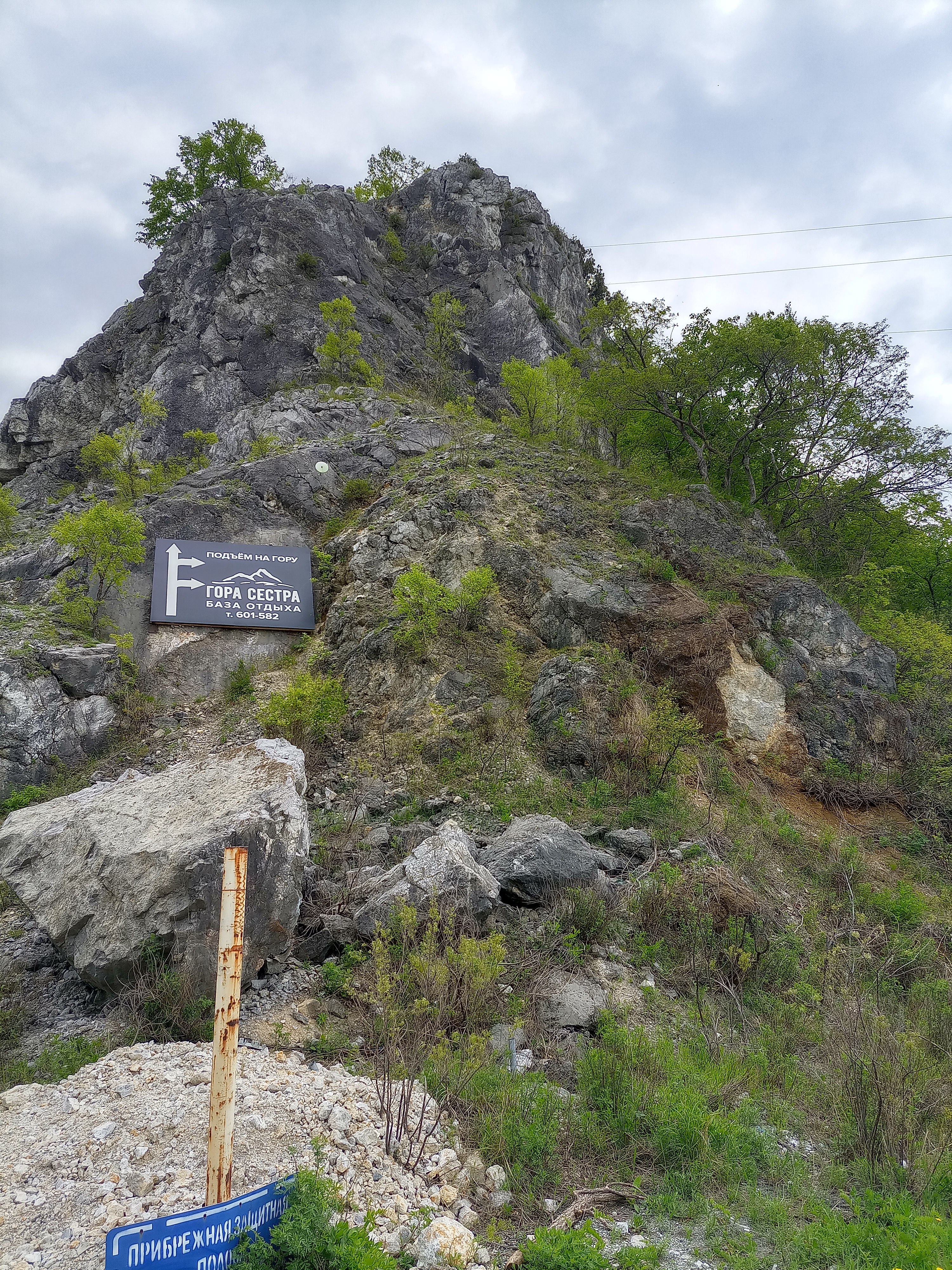 Буденовка- сопки Сестра и Брат -Буденовка
- Distance
- 35.1 km
- Ascent
- 278 m
- Descent
- 337 m
- Location
- Vladimiro-Aleksandrovskoye, Primorskiy (Maritime) Kray, Russia
 정선군에서 정선군까지
- Distance
- 64 km
- Ascent
- 1,985 m
- Descent
- 1,989 m
- Location
- T’aebaek, Gangwon-do, South Korea
 Day 5: Chandigarh-Solan
- Distance
- 66.2 km
- Ascent
- 1,590 m
- Descent
- 384 m
- Location
- Chandigarh, Chandigarh, India
 NIBM Road-Sinhagad Fort
- Distance
- 35 km
- Ascent
- 894 m
- Descent
- 302 m
- Location
- Pune, Maharashtra, India
 Suzette Gillits final
- Distance
- 32.5 km
- Ascent
- 534 m
- Descent
- 533 m
- Location
- Mpumalanga, KwaZulu-Natal, Republic of South Africa
 bypass batobeach ambatobe
- Distance
- 38.5 km
- Ascent
- 649 m
- Descent
- 649 m
- Location
- Antananarivo, Analamanga Region, Madagascar
 New Way of the Rings Chipping Norton to Marlborough
- Distance
- 93 km
- Ascent
- 633 m
- Descent
- 704 m
- Location
- Chipping Norton, England, United Kingdom
 Grand Avenue, Marlborough to Sedgebrook, Swindon
- Distance
- 36.8 km
- Ascent
- 320 m
- Descent
- 386 m
- Location
- Burbage, England, United Kingdom