For your gravel bike
Explore the world’s best gravel routes
From alpine fire roads to coastal forest trails—these are the top-rated gravel routes from the Bikemap community. Get inspired and start planning your next ride.
 Hrastnik -Trbovlje - Mrzlica mimo trboveljskega rudnika
- Distance
- 38.8 km
- Ascent
- 1,579 m
- Descent
- 1,582 m
- Location
- Hrastnik, Hrastnik, Slovenia
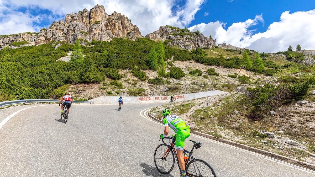 Pieve di Cadore to Toblach - etappe 6 tdf 2025
- Distance
- 61.1 km
- Ascent
- 1,519 m
- Descent
- 1,140 m
- Location
- Pieve di Cadore, Veneto, Italy
 Day14_Richmond_Princeville
- Distance
- 65.3 km
- Ascent
- 243 m
- Descent
- 205 m
- Location
- Richmond, Quebec, Canada
 3692–3698 Talbert Ranch Rd, China Spring to 3692–3698 Talbert Ranch Rd, China Spring
- Distance
- 39.9 km
- Ascent
- 322 m
- Descent
- 321 m
- Location
- Valley Mills, Texas, United States of America
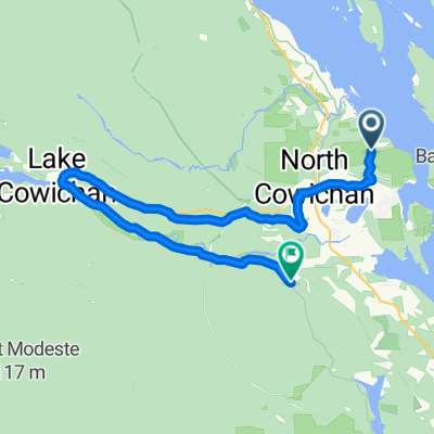 North Cowichan - Duncan
- Distance
- 66 km
- Ascent
- 679 m
- Descent
- 689 m
- Location
- North Cowichan, British Columbia, Canada
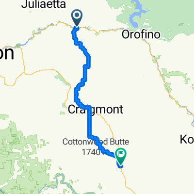 School Rd, Lenore to Cottonwood Butte Rd, Cottonwood
- Distance
- 74.8 km
- Ascent
- 1,746 m
- Descent
- 934 m
 Nayón - Yanacocha
- Distance
- 55.4 km
- Ascent
- 2,012 m
- Descent
- 2,026 m
- Location
- Tutamandahostel, Provincia de Pichincha, Ecuador
 SAN ANTONIO OESTE A SIERRA PAILLEMAN
- Distance
- 118.5 km
- Ascent
- 407 m
- Descent
- 58 m
 Bottle Lake Forest, Christchurch
- Distance
- 34.3 km
- Ascent
- 77 m
- Descent
- 80 m
- Location
- Christchurch, Canterbury, New Zealand
 Half 8 Wired Wairarapa
- Distance
- 71.8 km
- Ascent
- 1,642 m
- Descent
- 1,636 m
- Location
- Waipawa, Wellington, New Zealand
 Sunshine to Footscray (via Brimbank Park)
- Distance
- 38 km
- Ascent
- 422 m
- Descent
- 439 m
- Location
- Sunshine West, Victoria, Australia
 Real fit mountain bike riding
- Distance
- 41 km
- Ascent
- 160 m
- Descent
- 160 m
- Location
- Balwyn North, Victoria, Australia
 深井/大欖, 小ROUND遊
- Distance
- 38.4 km
- Ascent
- 598 m
- Descent
- 594 m
- Location
- Tsuen Wan, Tsuen Wan District, Hong Kong
 Meieki 1-Chōme, Nakamura-Ku, Nagoya-Shi to 7, Iwabuchi 1-Chōme, Ise-Shi
- Distance
- 114.7 km
- Ascent
- 233 m
- Descent
- 239 m
- Location
- Nagoya, Aichi, Japan
 Route from MFJ7+XFX, Butwal
- Distance
- 79 km
- Ascent
- 6,276 m
- Descent
- 5,306 m
- Location
- Butwāl, Western Region, Nepal
 Kukrail forest-rasupur vill-Mahanagar
- Distance
- 31.7 km
- Ascent
- 81 m
- Descent
- 83 m
- Location
- Lucknow, Uttar Pradesh, India
 Eendedam lava loop
- Distance
- 35.1 km
- Ascent
- 270 m
- Descent
- 268 m
- Location
- Secunda, Mpumalanga, Republic of South Africa
 Eendedam start strikdas
- Distance
- 64 km
- Ascent
- 510 m
- Descent
- 509 m
- Location
- Secunda, Mpumalanga, Republic of South Africa
 Queensbridge Road 303 to Queensbridge Road 303
- Distance
- 30.1 km
- Ascent
- 48 m
- Descent
- 92 m
- Location
- Bethnal Green, England, United Kingdom
 Windsor run
- Distance
- 80.5 km
- Ascent
- 219 m
- Descent
- 219 m
- Location
- Richmond, England, United Kingdom