
Mountain bike trails near you
Explore technical trails, forest paths, and hidden singletracks around the world.
Discover with Bikemap
Craving off-road climbs, downhill action, or wild rides through the woods?
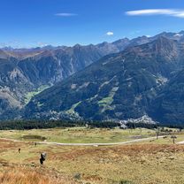
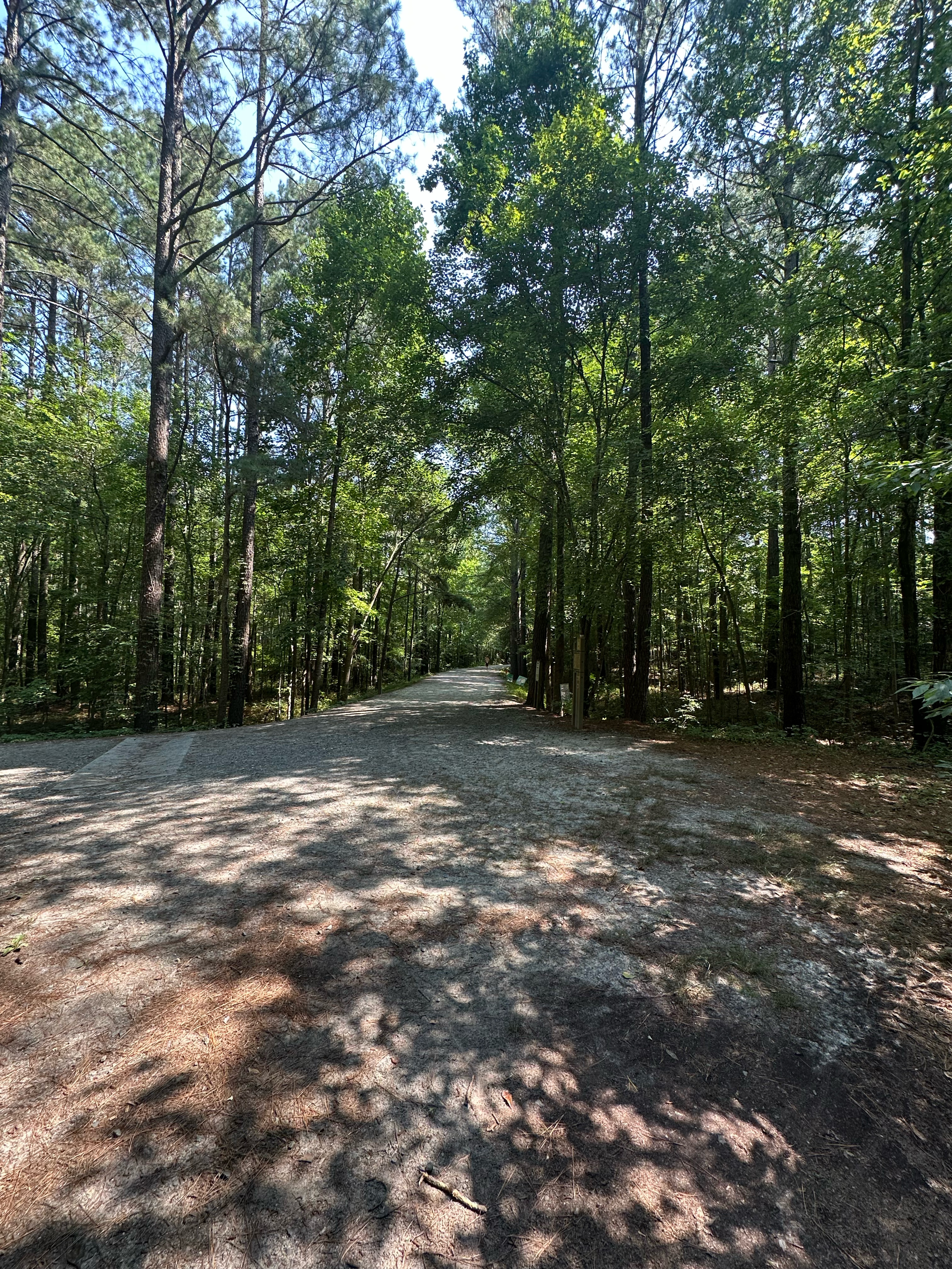
Mountain bike trails offer off-road excitement, technical terrain, and wild forest adventures. Explore MTB routes with singletrack, rocky climbs, and fast descents — all shared and rated by the global Bikemap community. Whether you’re looking for beginner-friendly trails or expert-level rides, you’ll find detailed surface data, elevation charts, and trail insights to guide your next ride.
For your mountain bike
Shred the world’s best mountain bike trails
From rooty forest loops to alpine descents—these are the highest-rated MTB routes shared by riders like you. Get ready to ride.
- Marias Land Loop mit Puchberg am Schneeberg - Lang
- Distance
- 45.5 km
- Ascent
- 1,302 m
- Descent
- 1,303 m
- Location
- Ternitz, Lower Austria, Austria
- Der Drache II - Flatzer Wand Loop ohne Fahrverbote
- Distance
- 25.5 km
- Ascent
- 646 m
- Descent
- 646 m
- Location
- Ternitz, Lower Austria, Austria
- Recovered Route
- Distance
- 47.7 km
- Ascent
- 410 m
- Descent
- 416 m
- Location
- Scotts Mill, North Carolina, United States of America
- Acadia 16 Miles
- Distance
- 27 km
- Ascent
- 638 m
- Descent
- 650 m
- Location
- Bar Harbor, State of Maine, United States
- Central Valley Greenway / BC Parkway
- Distance
- 44 km
- Ascent
- 440 m
- Descent
- 443 m
- Location
- Vancouver, British Columbia, Canada
- Central Lonsdale - Circle to Cypress Mountain Ski Station
- Distance
- 56.1 km
- Ascent
- 1,594 m
- Descent
- 1,576 m
- Location
- North Vancouver, British Columbia, Canada
- ilalo, cruz del ilalo
- Distance
- 22.3 km
- Ascent
- 909 m
- Descent
- 911 m
- Location
- Tutamandahostel, Pichincha, Ecuador
- CAÑADON de la MOSCA
- Distance
- 28.7 km
- Ascent
- 762 m
- Descent
- 762 m
- Ongarue to Piropiro - Timber Trail part 2
- Distance
- 45 km
- Ascent
- 1,098 m
- Descent
- 858 m
- Mangakino to Pureora – Timber Trail Connection
- Distance
- 45 km
- Ascent
- 1,011 m
- Descent
- 662 m
- Cooroora MTB Trail Pomona
- Distance
- 18.1 km
- Ascent
- 430 m
- Descent
- 430 m
- Location
- Black Mountain, Queensland, Australia
- Round Mountain Loop 54km
- Distance
- 54.7 km
- Ascent
- 1,171 m
- Descent
- 1,169 m
- Location
- Pottsville Beach, New South Wales, Australia
- Biking Yangshuo - Xingping - Yangdi
- Distance
- 42.4 km
- Ascent
- 980 m
- Descent
- 947 m
- Location
- Yangshuo, Guangxi, China
- Neizvestnaya Doroga, Russkiy to Neizvestnaya Doroga, Russkiy
- Distance
- 24.7 km
- Ascent
- 446 m
- Descent
- 457 m
- Location
- Russkiy, Primorskiy Kray, Russia
- NIBM Road-Sinhagad Fort
- Distance
- 35 km
- Ascent
- 894 m
- Descent
- 302 m
- Location
- Pune, Maharashtra, India
- Day 5: Chandigarh-Solan
- Distance
- 66.2 km
- Ascent
- 1,590 m
- Descent
- 384 m
- Location
- Chandigarh, Chandigarh, India
- Suzette Gillits final
- Distance
- 32.5 km
- Ascent
- 534 m
- Descent
- 533 m
- Location
- Mpumalanga, KwaZulu-Natal, Republic of South Africa
- bypass batobeach ambatobe
- Distance
- 38.5 km
- Ascent
- 649 m
- Descent
- 649 m
- Location
- Antananarivo, Analamanga Region, Madagascar
- Watlington mtb route
- Distance
- 35.2 km
- Ascent
- 480 m
- Descent
- 479 m
- Location
- Watlington, England, United Kingdom
- KAW-Day 1
- Distance
- 73 km
- Ascent
- 814 m
- Descent
- 772 m
- Location
- Salisbury, England, United Kingdom