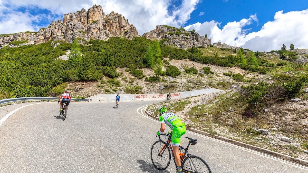
For your mountain bike
Shred the world’s best mountain bike trails
From rooty forest loops to alpine descents—these are the highest-rated MTB routes shared by riders like you. Get ready to ride.
 Hrastnik -Trbovlje - Mrzlica mimo trboveljskega rudnika
- Distance
- 38.8 km
- Ascent
- 1,579 m
- Descent
- 1,582 m
- Location
- Hrastnik, Hrastnik, Slovenia
 Pieve di Cadore to Toblach - etappe 6 tdf 2025
- Distance
- 61.1 km
- Ascent
- 1,519 m
- Descent
- 1,140 m
- Location
- Pieve di Cadore, Veneto, Italy
 199 Polly Drummond Hill Rd, Newark to 199 Polly Drummond Hill Rd, Newark
- Distance
- 22.7 km
- Ascent
- 493 m
- Descent
- 491 m
- Location
- Pike Creek, Delaware, United States of America
 Glasgow Rd, Bella Vista to Glasgow Rd, Bella Vista
- Distance
- 29.3 km
- Ascent
- 467 m
- Descent
- 468 m
- Location
- Bella Vista, Arkansas, United States of America
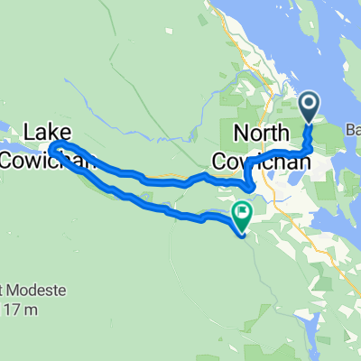 North Cowichan - Duncan
- Distance
- 66 km
- Ascent
- 679 m
- Descent
- 689 m
- Location
- North Cowichan, British Columbia, Canada
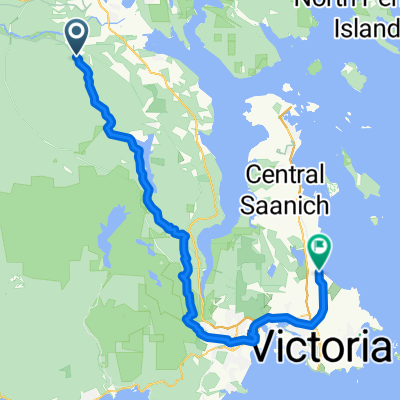 Duncan - Oak Bay
- Distance
- 68.3 km
- Ascent
- 1,006 m
- Descent
- 1,061 m
- Location
- Duncan, British Columbia, Canada
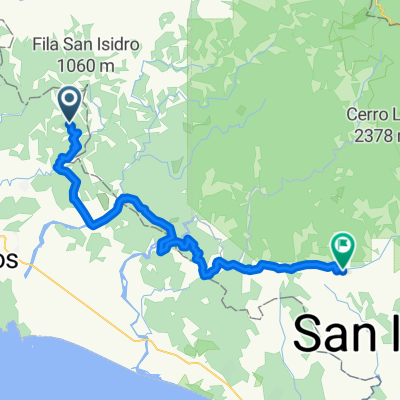 San Marcos - San Isidro
- Distance
- 51.1 km
- Ascent
- 2,726 m
- Descent
- 2,610 m
- Location
- San Marcos, Provincia de San José, Costa Rica
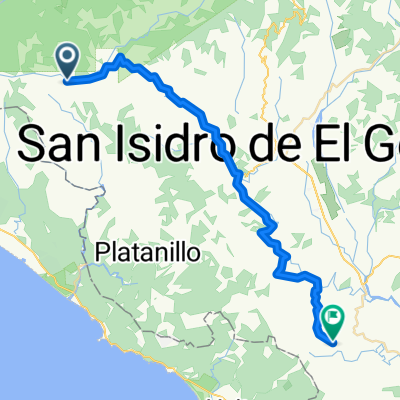 San Isidro - Mercedes
- Distance
- 50.3 km
- Ascent
- 2,512 m
- Descent
- 2,195 m
- Location
- San Isidro, Provincia de San José, Costa Rica
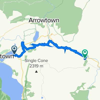 Kelvin Heights to Mt Rosa Winery
- Distance
- 32.9 km
- Ascent
- 751 m
- Descent
- 698 m
- Location
- Queenstown, Otago, New Zealand
 NY 2023
- Distance
- 34.3 km
- Ascent
- 1,619 m
- Descent
- 1,609 m
- Location
- Picton, Marlborough, New Zealand
 Paddys land trail
- Distance
- 24.1 km
- Ascent
- 620 m
- Descent
- 620 m
 e-MTB Adventure Ride. Gisborne, Pyrete Range, Melton.
- Distance
- 71.9 km
- Ascent
- 460 m
- Descent
- 801 m
- Location
- Sunbury, Victoria, Australia
 輕鬆的路線 荃灣零悶
- Distance
- 11 km
- Ascent
- 420 m
- Descent
- 414 m
- Location
- Shatin, Sha Tin, Hong Kong
 2012/11/11-郡大林道23km望鄉工作站→ 32KM登山口
- Distance
- 18 km
- Ascent
- 788 m
- Descent
- 788 m
 Masbar - Ghatexina
- Distance
- 34.2 km
- Ascent
- 539 m
- Descent
- 485 m
- Location
- Pokhara, Western Region, Nepal
 Gopalnagar Road Number 2, Dombivli to 636W+R9C, Dombivli
- Distance
- 27 km
- Ascent
- 1,243 m
- Descent
- 1,233 m
- Location
- Dombivali, Maharashtra, India
 Baden - Epic challenge
- Distance
- 51.5 km
- Ascent
- 518 m
- Descent
- 515 m
- Location
- Ashton, Province of the Western Cape, Republic of South Africa
 Long Hill Ride
- Distance
- 68.7 km
- Ascent
- 679 m
- Descent
- 684 m
- Location
- Kraaifontein, Province of the Western Cape, Republic of South Africa
 Carshalton loop
- Distance
- 43.1 km
- Ascent
- 409 m
- Descent
- 382 m
- Location
- Carshalton, England, United Kingdom
 East Boldre, Brockenhurst to East Boldre, Brockenhurst
- Distance
- 20.6 km
- Ascent
- 414 m
- Descent
- 419 m
- Location
- Brockenhurst, England, United Kingdom