For your mountain bike
Shred the world’s best mountain bike trails
From rooty forest loops to alpine descents—these are the highest-rated MTB routes shared by riders like you. Get ready to ride.
 Regitzer Spitz
- Distance
- 17 km
- Ascent
- 713 m
- Descent
- 713 m
- Location
- Balzers, Balzers, Liechtenstein
 Samobor-Japetić-Samobor
- Distance
- 49.1 km
- Ascent
- 1,096 m
- Descent
- 1,096 m
- Location
- Samobor, Zagreb County, Croatia
 Canal Rd, Somerset to Canal Rd, Somerset
- Distance
- 27.4 km
- Ascent
- 484 m
- Descent
- 493 m
- Location
- Middlebush, New Jersey, United States of America
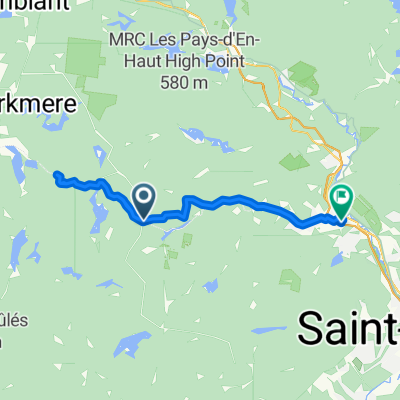 Rte Principale, Wentworth-Nord à Ch de Vimy, Piedmont
- Distance
- 53.4 km
- Ascent
- 960 m
- Descent
- 1,155 m
- Location
- Saint-Sauveur, Quebec, Canada
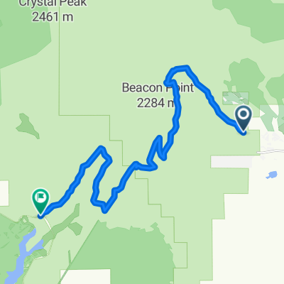 Dog Valley Rd, Chilcoot to Dog Valley Rd, Chilcoot
- Distance
- 17.2 km
- Ascent
- 745 m
- Descent
- 515 m
- Location
- Verdi, Nevada, United States of America
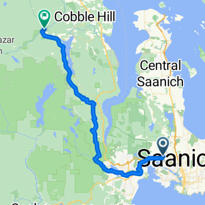 S Valley Dr, Saanich to Cowichan Valley
- Distance
- 49.9 km
- Ascent
- 1,134 m
- Descent
- 1,032 m
- Location
- Victoria, British Columbia, Canada
 Rota desde Rua Gameleira
- Distance
- 21 km
- Ascent
- 418 m
- Descent
- 429 m
- Location
- Divinópolis, Minas Gerais, Brazil
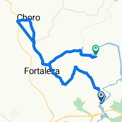
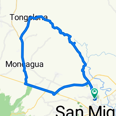 Paseo tranquilo
- Distance
- 36.1 km
- Ascent
- 503 m
- Descent
- 504 m
- Location
- San Miguel, Departamento de San Miguel, El Salvador
 Mount Baldie loop
- Distance
- 33.8 km
- Ascent
- 417 m
- Descent
- 416 m
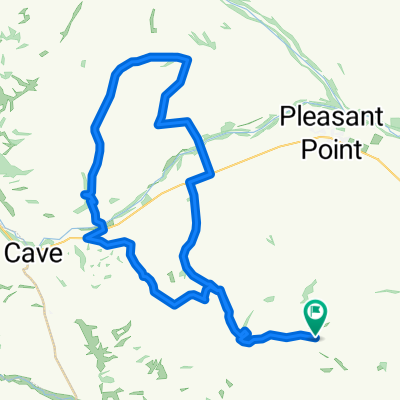 Timaru tottle
- Distance
- 52.5 km
- Ascent
- 566 m
- Descent
- 566 m
- Location
- Pleasant Point, Canterbury, New Zealand
 63 Nurrawallee St, Ulladulla to Yadboro
- Distance
- 31 km
- Ascent
- 743 m
- Descent
- 543 m
- Location
- Ulladulla, New South Wales, Australia
 Killeaton Street 128, St Ives nach Killeaton Street 126, St Ives
- Distance
- 13.3 km
- Ascent
- 405 m
- Descent
- 407 m
- Location
- North Turramurra, New South Wales, Australia
 ride through Kochi
- Distance
- 23 km
- Ascent
- 1,103 m
- Descent
- 1,182 m
- Location
- Ino, Kochi, Japan
 Shingunomori Koen-Amigaws - Kagami Dam - Soan temple
- Distance
- 30.2 km
- Ascent
- 910 m
- Descent
- 910 m
- Location
- Ino, Kochi, Japan
 जामना: गुभाजु मार्ग, Kathmandu to H79H+V23, Devichour
- Distance
- 21.3 km
- Ascent
- 987 m
- Descent
- 545 m
- Location
- Kathmandu, Central Region, Nepal
 Kathmandu to Thana Bazar
- Distance
- 43.8 km
- Ascent
- 1,210 m
- Descent
- 750 m
- Location
- Kathmandu, Central Region, Nepal
 AREMEC Bike Bfv bypass
- Distance
- 24 km
- Ascent
- 466 m
- Descent
- 539 m
- Location
- Antananarivo, Analamanga Region, Madagascar
 Olmotoni - Lengijave upper cycle
- Distance
- 29 km
- Ascent
- 762 m
- Descent
- 371 m
- Location
- Arusha, Arusha, Tanzania
 Beaulieu Road, Ashurst, Southampton to Beaulieu Road, Ashurst, Southampton
- Distance
- 46.9 km
- Ascent
- 735 m
- Descent
- 737 m
- Location
- Lyndhurst, England, United Kingdom
 basingstoke 1
- Distance
- 53.6 km
- Ascent
- 430 m
- Descent
- 424 m
- Location
- Basingstoke, England, United Kingdom