For your mountain bike
Shred the world’s best mountain bike trails
From rooty forest loops to alpine descents—these are the highest-rated MTB routes shared by riders like you. Get ready to ride.
 Hof bei Salzburg-Ebenau-Strubklamm-Faistenau-Hof
- Distance
- 35.2 km
- Ascent
- 479 m
- Descent
- 478 m
- Location
- Hof bei Salzburg, Salzburg, Austria
 Poiano Resort - San Zeno di Montagna
- Distance
- 31.1 km
- Ascent
- 725 m
- Descent
- 735 m
- Location
- Costermano, Veneto, Italy
 USBR 7: Arlington to Williamstown
- Distance
- 43.5 km
- Ascent
- 535 m
- Descent
- 576 m
- Location
- Arlington, Vermont, United States of America
 USBR 7: Castleton to Port Henry
- Distance
- 73.7 km
- Ascent
- 876 m
- Descent
- 981 m
- Location
- Castleton, Vermont, United States of America
 Trailforks Route Plan - Trailforks Route Plan
- Distance
- 27.3 km
- Ascent
- 578 m
- Descent
- 572 m
- Location
- Park City, Utah, United States of America
 Trans Canada Trail (Cypress Hills Park: Alberta)
- Distance
- 32.1 km
- Ascent
- 788 m
- Descent
- 832 m
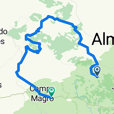 pedal campo magro - pedreira da lagoa azul
- Distance
- 35.1 km
- Ascent
- 677 m
- Descent
- 692 m
- Location
- Almirante Tamandaré, Paraná, Brazil
 Carrera 11A, Soacha to Calle 16, Soacha
- Distance
- 28.2 km
- Ascent
- 580 m
- Descent
- 574 m
- Location
- Soacha, Cundinamarca, Colombia
 Macetown Arrowtown
- Distance
- 15.5 km
- Ascent
- 930 m
- Descent
- 635 m
- Location
- Arrowtown, Otago, New Zealand
 J'ville - Ohairu - Spicer Forest - Return Loop
- Distance
- 23.9 km
- Ascent
- 530 m
- Descent
- 528 m
- Location
- Petone, Wellington, New Zealand
 Stage 8
- Distance
- 48.4 km
- Ascent
- 1,456 m
- Descent
- 892 m
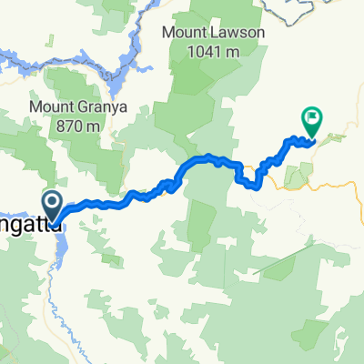
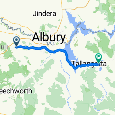 Wodonga
- Distance
- 59.6 km
- Ascent
- 608 m
- Descent
- 592 m
![Ph0]에서 경로송악면 401-17](https://media.bikemap.net/routes/17004966/staticmaps/in_7b95cb38-e2e9-49ec-93f7-70f74f1ca50a_400x400_bikemap-2021-3D-static.png) Ph0]에서 경로송악면 401-17
Ph0]에서 경로송악면 401-17- Distance
- 12 km
- Ascent
- 1,053 m
- Descent
- 885 m
- Location
- Yesan, Chungcheongnam-do, Republic of Korea
 新店-直潭-廣興-烏來
- Distance
- 44.1 km
- Ascent
- 1,479 m
- Descent
- 1,439 m
- Location
- Banqiao District, Taipei, Taiwan
 Sarangkot, downhill through Lovely Hill
- Distance
- 20.5 km
- Ascent
- 511 m
- Descent
- 515 m
- Location
- Pokhara, Western Region, Nepal
 425/14, Delhi to 425/14, Delhi
- Distance
- 21.6 km
- Ascent
- 575 m
- Descent
- 577 m
- Location
- Delhi, National Capital Territory of Delhi, India
 BUNYONYI - MUTANDA - ICHUYA GORILLA EXPERIENCE
- Distance
- 38.7 km
- Ascent
- 862 m
- Descent
- 891 m
- Location
- Kabale, Western Region, Uganda
 dada malala ambohibary
- Distance
- 50.6 km
- Ascent
- 938 m
- Descent
- 946 m
- Location
- Antananarivo, Analamanga Region, Madagascar
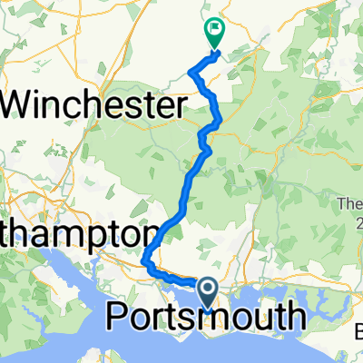 Portsmouth - Four Marks
- Distance
- 56.4 km
- Ascent
- 571 m
- Descent
- 377 m
- Location
- Portsmouth, England, United Kingdom
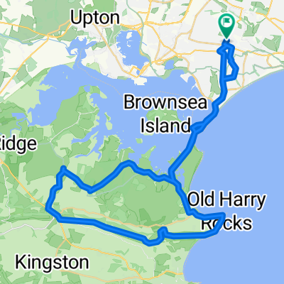 Runton Road, Poole to Runton Road, Poole
- Distance
- 47.8 km
- Ascent
- 564 m
- Descent
- 559 m
- Location
- Parkstone, England, United Kingdom