For your road bike
Ride the world's best road cycling routes
From legendary alpine passes to rolling coastal highways—these are the top-rated road bike routes from the Bikemap community. Get inspired and ride your perfect line.
 Hof bei Salzburg-Ebenau-Strubklamm-Faistenau-Hof
- Distance
- 35.2 km
- Ascent
- 479 m
- Descent
- 478 m
- Location
- Hof bei Salzburg, Salzburg, Austria
 Bad Wiessee - Lengries - Glashütte - Scharling
- Distance
- 52.7 km
- Ascent
- 1,346 m
- Descent
- 1,346 m
- Location
- Bad Wiessee, Bavaria, Germany
 Circuit Félix-Leclerc - Grand tour de l'Ile d'Orléans
- Distance
- 66.7 km
- Ascent
- 390 m
- Descent
- 389 m
- Location
- Château-Richer, Quebec, Canada
 Naples & Port Royal Leisure eBike Ride
- Distance
- 37.9 km
- Ascent
- 28 m
- Descent
- 30 m
- Location
- Naples, Florida, United States of America
 metro loop first via burnaby mountain
- Distance
- 90.7 km
- Ascent
- 1,205 m
- Descent
- 1,214 m
- Location
- West Vancouver, British Columbia, Canada
 3815 W 242nd St, Torrance to 24228 Ward St, Torrance
- Distance
- 36.8 km
- Ascent
- 156 m
- Descent
- 154 m
- Location
- Rolling Hills Estates, California, United States of America
 Vuelta a los pueblitos - 3 días acampando
- Distance
- 111.7 km
- Ascent
- 1,567 m
- Descent
- 1,567 m
- Location
- Arequipa, Arequipa, Peru
 Huaraz - Willkawain - Pitec
- Distance
- 35.2 km
- Ascent
- 1,065 m
- Descent
- 1,065 m
- Location
- Huaraz, Ancash, Peru
 Wellington Around the Bays
- Distance
- 41.3 km
- Ascent
- 949 m
- Descent
- 949 m
- Location
- Kelburn, Wellington, New Zealand
 Wellington Around the Bays
- Distance
- 41.3 km
- Ascent
- 949 m
- Descent
- 949 m
- Location
- Kelburn, Wellington, New Zealand
 Clunes - McLeans Ridge
- Distance
- 57 km
- Ascent
- 686 m
- Descent
- 684 m
- Location
- East Lismore, New South Wales, Australia
 Sydney CBD to Carlingford
- Distance
- 35.6 km
- Ascent
- 413 m
- Descent
- 321 m
- Location
- Sydney, New South Wales, Australia
 20240426_2021 山岳サイクリング
- Distance
- 41.6 km
- Ascent
- 1,395 m
- Descent
- 1,398 m
- Location
- Chichibu, Saitama, Japan
 20230923_ぐるとち2023 チャレンジ100kmコース
- Distance
- 99.9 km
- Ascent
- 1,042 m
- Descent
- 1,042 m
- Location
- Mooka, Tochigi, Japan
 Day 269
- Distance
- 137.7 km
- Ascent
- 643 m
- Descent
- 645 m
- Location
- Gwadar, Balochistān, Pakistan
 Palamalai Climb
- Distance
- 59.9 km
- Ascent
- 598 m
- Descent
- 599 m
- Location
- Coimbatore, Tamil Nadu, India
 Klapmuts - Hermon via Ou Koei
- Distance
- 68.5 km
- Ascent
- 4,585 m
- Descent
- 4,562 m
- Location
- Paarl, Province of the Western Cape, Republic of South Africa
 Paarl berg
- Distance
- 31.3 km
- Ascent
- 326 m
- Descent
- 325 m
- Location
- Paarl, Province of the Western Cape, Republic of South Africa
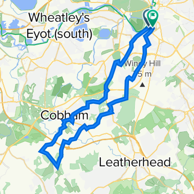 surreytour
- Distance
- 35.1 km
- Ascent
- 193 m
- Descent
- 189 m
- Location
- Surbiton, England, United Kingdom
 Dorking - Wotton - Leith Hill Loop
- Distance
- 32.2 km
- Ascent
- 450 m
- Descent
- 448 m
- Location
- Dorking, England, United Kingdom