
Cycling round-trips near you
Find loop routes that start and end in the same place—no backtracking required.
How to create the perfect loop
Want to ride a loop that starts right at your doorstep?
Bikemap helps you to create personalized round-trips in just a few taps. Simply set your desired distance, routing option, and preferred direction and our smart loop planner does the rest. Here is how it works:

Create your loop
Open the Bikemap app and select Create your loop from the Discover tab of Bikemap for iOS or Android. Pick your starting point, then set the distance you want to ride.

Customize to your riding style
Choose from various routing options to match your loop perfectly to your bike type and cycling preferences. Whether you’re riding with your family, on a road or mountain bike, or just cruising—there’s a route made for you.

Switch direction for more variety
Looking for more route inspiration? Change the riding direction and discover entirely new variations. Just open the direction adjustment and point your phone in the desired direction. When you’re happy with your loop, it’s time to ride with Bikemap’s turn-by-turn navigation!
For your ride
Explore the best loop routes worldwide
These loop routes are ideal for training, touring, or exploring—from scenic circuits to epic full-day rides.
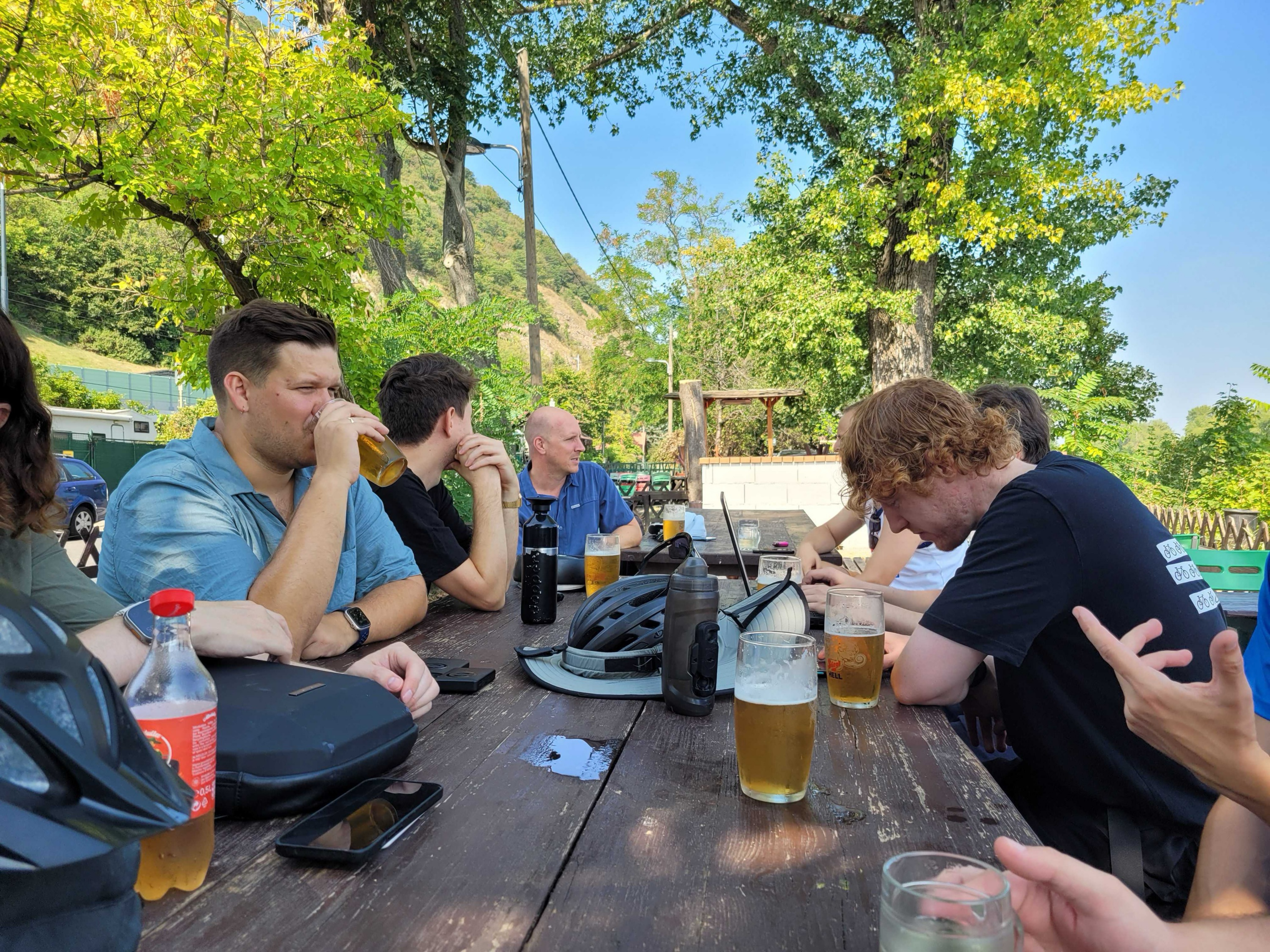 Bikemap Summer Ride 2024 🚴♂️ Wien - Klosterneuburg
- Distance
- 31.5 km
- Ascent
- 250 m
- Descent
- 250 m
- Location
- Vienna, Vienna, Austria
 Marias Land Loop mit Puchberg am Schneeberg - Lang
- Distance
- 45.5 km
- Ascent
- 1,302 m
- Descent
- 1,303 m
- Location
- Ternitz, Lower Austria, Austria
 Bike the Sites 2024
- Distance
- 10 km
- Ascent
- 49 m
- Descent
- 52 m
- Location
- Hyattsville, Maryland, United States
 Lighthouse Loop, Toronto
- Distance
- 6.5 km
- Ascent
- 34 m
- Descent
- 4 m
- Location
- Toronto, Ontario, Canada
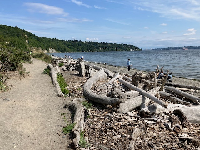 Magnolia/Discovery Park Hidden Areas and Great Climbs
- Distance
- 34.9 km
- Ascent
- 530 m
- Descent
- 530 m
- Location
- Seattle, Washington, United States
 Central Valley Greenway / BC Parkway
- Distance
- 44 km
- Ascent
- 440 m
- Descent
- 443 m
- Location
- Vancouver, British Columbia, Canada
 Auditoria Cidadã - De Rua Helvétia 965a a Rua Helvétia 980
- Distance
- 8.1 km
- Ascent
- 148 m
- Descent
- 127 m
- Location
- São Paulo, São Paulo, Brazil
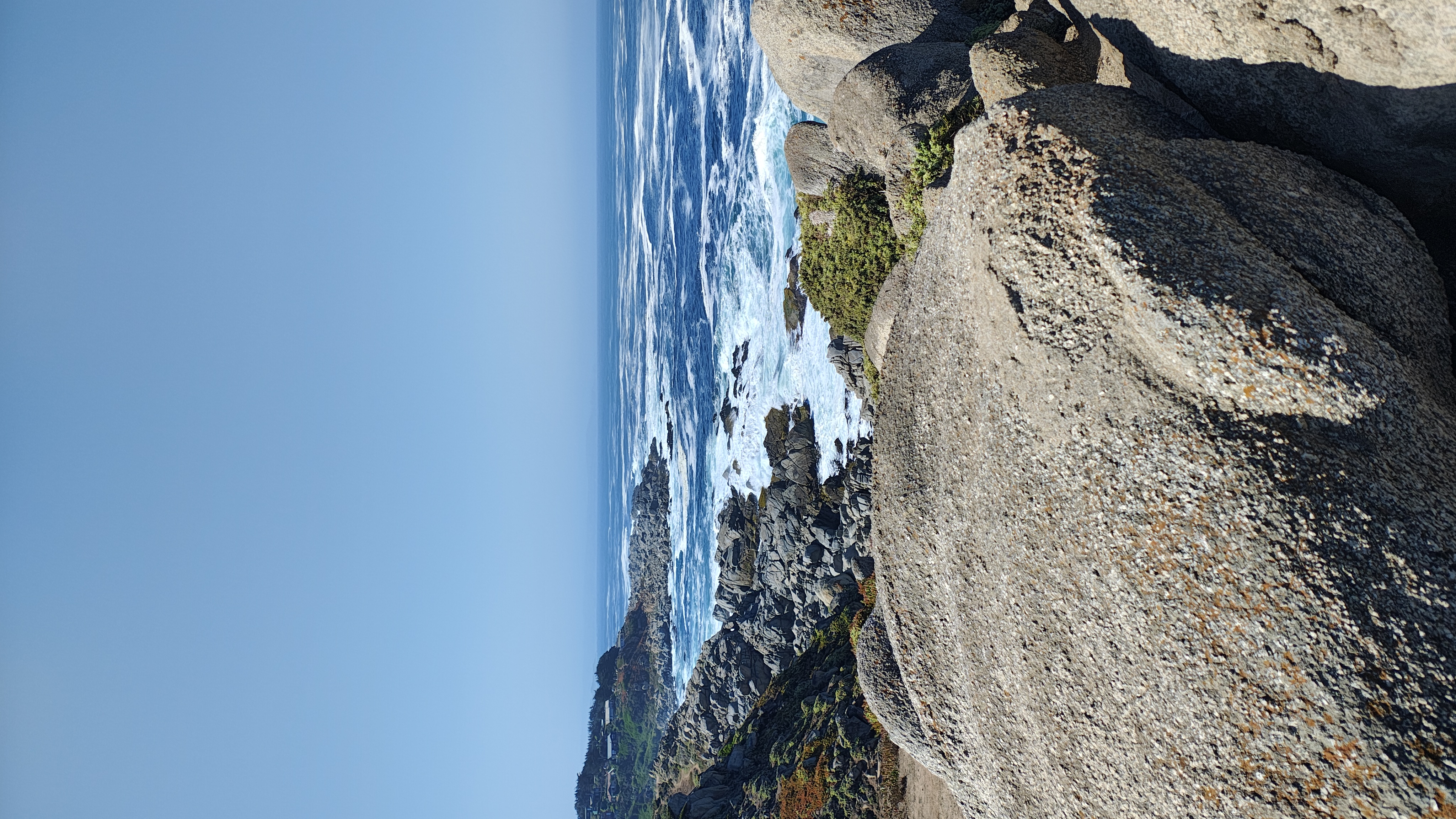 Conociendo Punta de Tralca
- Distance
- 20 km
- Ascent
- 241 m
- Descent
- 258 m
- Location
- El Tabo, Región de Valparaíso, Chile
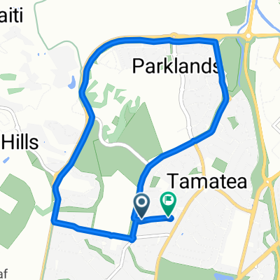 Glamorgan Avenue to Glamorgan Avenue
- Distance
- 7.9 km
- Ascent
- 17 m
- Descent
- 21 m
- Location
- Taradale, Hawke's Bay Region, New Zealand
 Route to Wakefield Quay 367, Nelson
- Distance
- 11.6 km
- Ascent
- 97 m
- Descent
- 124 m
- Location
- Nelson, Nelson, New Zealand
 Kogarah Loop 1 (via Cooks River and Brighton Le Sands)
- Distance
- 28.3 km
- Ascent
- 172 m
- Descent
- 170 m
- Location
- Beverly Park, New South Wales, Australia
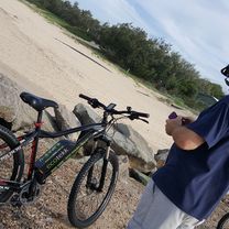 Noosa Lake Explora
- Distance
- 25 km
- Ascent
- 153 m
- Descent
- 153 m
- Location
- Tewantin, Queensland, Australia
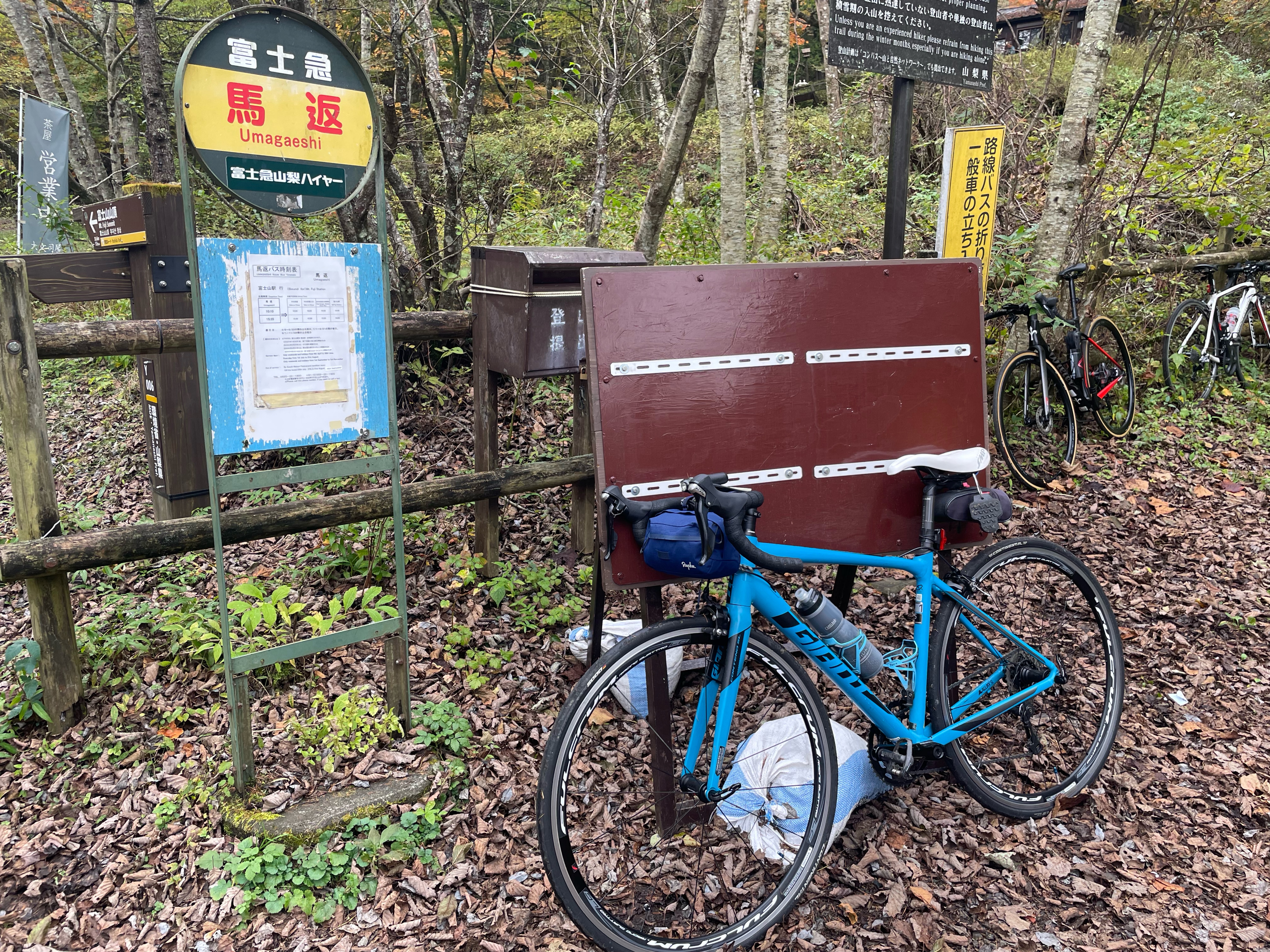 20241027_奥富士ロングライド
- Distance
- 55 km
- Ascent
- 1,784 m
- Descent
- 1,785 m
- Location
- Fujikawaguchiko, Yamanashi, Japan
 Wenjian Mountain
- Distance
- 19 km
- Ascent
- 175 m
- Descent
- 192 m
- Location
- Taipei, Taipei, Taiwan
 home to nadrakoli
- Distance
- 14.9 km
- Ascent
- 232 m
- Descent
- 181 m
- Location
- Buldāna, Maharashtra, India
 Cement Road to Cement Road
- Distance
- 11.4 km
- Ascent
- 199 m
- Descent
- 145 m
- Location
- Nagpur, Maharashtra, India
 ambohibary Karen
- Distance
- 50.1 km
- Ascent
- 1,064 m
- Descent
- 1,050 m
- Location
- Antananarivo, Analamanga Region, Madagascar
 panoramique ambatolampikely carrière sogea manakavaly ambatobe pedro AREMEC MATERAUTO
- Distance
- 46.3 km
- Ascent
- 1,069 m
- Descent
- 1,084 m
- Location
- Antananarivo, Analamanga Region, Madagascar
 Ornamental Woods - New Forest National Pak
- Distance
- 22.9 km
- Ascent
- 164 m
- Descent
- 162 m
- Location
- Brockenhurst, England, United Kingdom
 Chingford Circular less off-road 2
- Distance
- 45.2 km
- Ascent
- 218 m
- Descent
- 217 m
- Location
- Hackney, England, United Kingdom