
Cycling in Fennell Bay
Discover a map of 84 cycling routes and bike trails near Fennell Bay, created by our community.
Region portrait
Get to know Fennell Bay
Find the right bike route for you through Fennell Bay, where we've got 84 cycle routes to explore. Most people get on their bikes to ride here in the months of February and April.
1,072 km
Tracked distance
84
Cycle routes
1,474
Population
Community
Most active users in Fennell Bay
From our community
The best bike routes in and around Fennell Bay
Circumnavigate Edmonds Bay/Stoney Creek
Cycling route in Fennell Bay, New South Wales, Australia
Leave Blackalls Park Public School from its entrance at the corner of Rupert and Todd Streets travelling NE on Rupert.Â
At the corner of Rupert St and South Parade, carefully cross diagonally into Rose Street (East) and travel the 100m to the Greenway-Cycleway.
Follow the Greenway
- 9.2 km
- Distance
- 54 m
- Ascent
- 63 m
- Descent
Toronto Pool (short) + Back Home (long)
Cycling route in Fennell Bay, New South Wales, Australia
Main Roads then Stony Creek Cycleway west to Toronto High School ... then back onto Main Roads to end up at the pool (9-11 mins depending on traffic)
Swim your heart out THEN ... head east to Jindalee Street, the long way to Jarrett Street ... then north to Cafe Tinto, Toronto Waterfront,
- 12.1 km
- Distance
- 109 m
- Ascent
- 106 m
- Descent
Blackalls Park to North Toronto Industrial Estate then home through Fassifern
Cycling route in Fennell Bay, New South Wales, Australia
Leave Blackalls Park PS travelling east on Todd Street. Cross South Parade to the Greenway-Cycleway and travel south-east to Stoney Creek.Â
Join Cook Street at Stoney Creek and travel south turning left into James Street at the tennis courts/bowling green.
Turn left onto Cary Stre
- 8.5 km
- Distance
- 74 m
- Ascent
- 48 m
- Descent
Around Fennell Bay & connected suburbs
Cycling route in Fennell Bay, New South Wales, Australia
To Toronto via Greenway-Cycleway. Pick up coffee in The Boulevard.
Back past Toronto Railway Station, the Royal Motor Yacht Club, Toronto Public School THEN via Renwick Street to Toronto Lions' Club Park.
Cross Fennell Bay Bridge (travelling north) then walk your bike
- 13.2 km
- Distance
- 82 m
- Ascent
- 94 m
- Descent
Discover more routes
- Blackalls Park Public School to Toronto Pool +
- Distance
- 10.5 km
- Ascent
- 67 m
- Descent
- 66 m
- Location
- Fennell Bay, New South Wales, Australia
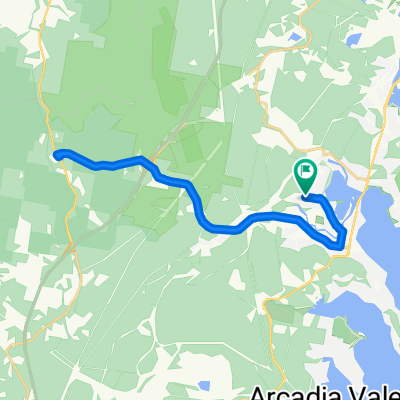
- Blackalls Park - THS - Toronto - home - 10.5km
- Distance
- 10.7 km
- Ascent
- 81 m
- Descent
- 80 m
- Location
- Fennell Bay, New South Wales, Australia
- Lapped Fennell Bay & Edmunds Bay + Toronto Shops
- Distance
- 11.2 km
- Ascent
- 87 m
- Descent
- 85 m
- Location
- Fennell Bay, New South Wales, Australia
- Blackalls Park Public School to Pippi's Hotel, Speers Point
- Distance
- 21.8 km
- Ascent
- 127 m
- Descent
- 126 m
- Location
- Fennell Bay, New South Wales, Australia
- Home > Fassifern Stn > Toronto > Home AA
- Distance
- 11 km
- Ascent
- 61 m
- Descent
- 60 m
- Location
- Fennell Bay, New South Wales, Australia
- Another THS visit then Home (via Aldon St)
- Distance
- 11 km
- Ascent
- 65 m
- Descent
- 82 m
- Location
- Fennell Bay, New South Wales, Australia
- Blackalls Park-Fassifern Loop
- Distance
- 9 km
- Ascent
- 81 m
- Descent
- 68 m
- Location
- Fennell Bay, New South Wales, Australia
- Blackalls Park-Fassifern Hills and Flats
- Distance
- 9.3 km
- Ascent
- 87 m
- Descent
- 85 m
- Location
- Fennell Bay, New South Wales, Australia