
Cycling in Hang Dong
Discover a map of 191 cycling routes and bike trails near Hang Dong, created by our community.
Region portrait
Get to know Hang Dong
Find the right bike route for you through Hang Dong, where we've got 191 cycle routes to explore. Most people get on their bikes to ride here in the months of January and February.
13,011 km
Tracked distance
191
Cycle routes
17,931
Population
Community
Most active users in Hang Dong
Handpicked routes
Discover Hang Dong through these collections
Tour
From our community
The best bike routes in and around Hang Dong
Outer Loop
Cycling route in Hang Dong, Chiang Mai Province, Thailand
Outer loop around Chiang Mai.
- 53.1 km
- Distance
- 49 m
- Ascent
- 51 m
- Descent
beautiful mountainous bike with one steep hill
Cycling route in Hang Dong, Chiang Mai Province, Thailand
- 13 km
- Distance
- 125 m
- Ascent
- 124 m
- Descent
77/232 Muban Kunlaphan Ville (Beaufort 1) Rd., Hang Dong to Soi Muban Kunlaphan Ville (Beaufort 3) Soi 4, Hang Dong
Cycling route in Hang Dong, Chiang Mai Province, Thailand
- 28.3 km
- Distance
- 69 m
- Ascent
- 64 m
- Descent
to royal train via samoeng road
Cycling route in Hang Dong, Chiang Mai Province, Thailand
- 10.6 km
- Distance
- 112 m
- Ascent
- 61 m
- Descent
Discover more routes
- great for sunset!
- Distance
- 15.1 km
- Ascent
- 191 m
- Descent
- 192 m
- Location
- Hang Dong, Chiang Mai Province, Thailand
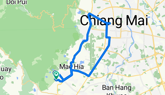
- Tambon Nam Phrae naar Tambon Nam Phrae
- Distance
- 16 km
- Ascent
- 188 m
- Descent
- 179 m
- Location
- Hang Dong, Chiang Mai Province, Thailand
- Thailand, Tambon Nong Kwai naar PWH5+G9R, Nong Kwai
- Distance
- 19.1 km
- Ascent
- 195 m
- Descent
- 188 m
- Location
- Hang Dong, Chiang Mai Province, Thailand
- Pimg river and new highway return
- Distance
- 68.6 km
- Ascent
- 38 m
- Descent
- 39 m
- Location
- Hang Dong, Chiang Mai Province, Thailand
- Hang Dong Coffee Ride
- Distance
- 61.2 km
- Ascent
- 46 m
- Descent
- 49 m
- Location
- Hang Dong, Chiang Mai Province, Thailand
- Nice short ride
- Distance
- 19.7 km
- Ascent
- 265 m
- Descent
- 265 m
- Location
- Hang Dong, Chiang Mai Province, Thailand
- ถนนเลี่ยงเมืà¸à¸‡à¸ªà¸±à¸™à¸›à¹ˆà¸²à¸•à¸à¸‡à¸«à¸²à¸‡à¸”ง, Tambon Hang Dong to NaTeaTime Tambon Nong Tong
- Distance
- 17.5 km
- Ascent
- 177 m
- Descent
- 208 m
- Location
- Hang Dong, Chiang Mai Province, Thailand
- Soi Mu Ban Wiphani View 73, Tambon Ban Waen to Soi Mu Ban Wiphani View 73, Tambon Ban Waen
- Distance
- 8.2 km
- Ascent
- 69 m
- Descent
- 74 m
- Location
- Hang Dong, Chiang Mai Province, Thailand