
Cycling in Ja Ela
Discover a map of 20 cycling routes and bike trails near Ja Ela, created by our community.
Region portrait
Get to know Ja Ela
Find the right bike route for you through Ja Ela, where we've got 20 cycle routes to explore.
2,624 km
Tracked distance
20
Cycle routes
32,175
Population
Community
Most active users in Ja Ela


From our community
The best bike routes in and around Ja Ela

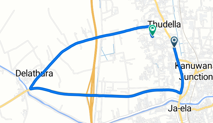
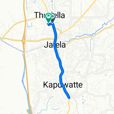
Gampaha District to Gampaha District
Cycling route in Ja Ela, Western Province, Sri Lanka
- 6.2 km
- Distance
- 9 m
- Ascent
- 10 m
- Descent

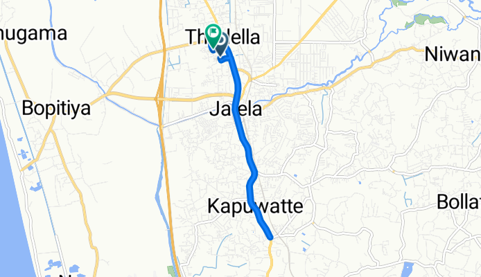
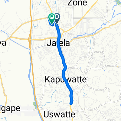
Gampaha District to Gampaha District
Cycling route in Ja Ela, Western Province, Sri Lanka
- 8.8 km
- Distance
- 11 m
- Ascent
- 13 m
- Descent
Discover more routes
 Pamunugama to Kagalle by Tandem
- Distance
- 76.1 km
- Ascent
- 464 m
- Descent
- 295 m
- Location
- Ja Ela, Western Province, Sri Lanka
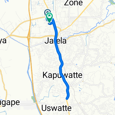
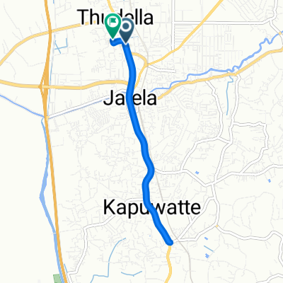 Gampaha District to Gampaha District
- Distance
- 8 km
- Ascent
- 20 m
- Descent
- 21 m
- Location
- Ja Ela, Western Province, Sri Lanka
 Pamunugama to pinnawela
- Distance
- 81.6 km
- Ascent
- 378 m
- Descent
- 299 m
- Location
- Ja Ela, Western Province, Sri Lanka
 sri lanka
- Distance
- 807.3 km
- Ascent
- 2,156 m
- Descent
- 2,149 m
- Location
- Ja Ela, Western Province, Sri Lanka
 7.079° N 79.881° W to 7.070° N 79.868° W
- Distance
- 1,466.3 km
- Ascent
- 4,422 m
- Descent
- 4,418 m
- Location
- Ja Ela, Western Province, Sri Lanka
 Gampaha District to Gampaha District
- Distance
- 9.2 km
- Ascent
- 10 m
- Descent
- 10 m
- Location
- Ja Ela, Western Province, Sri Lanka
 Gampaha District to Gampaha District
- Distance
- 10.3 km
- Ascent
- 39 m
- Descent
- 38 m
- Location
- Ja Ela, Western Province, Sri Lanka
 Gampaha District to Gampaha District
- Distance
- 10.2 km
- Ascent
- 25 m
- Descent
- 26 m
- Location
- Ja Ela, Western Province, Sri Lanka