
Cycling in Pakokku
Discover a map of 10 cycling routes and bike trails near Pakokku, created by our community.
Region portrait
Get to know Pakokku
Find the right bike route for you through Pakokku, where we've got 10 cycle routes to explore.
130 km
Tracked distance
10
Cycle routes
126,938
Population
Community
Most active users in Pakokku


From our community
The best bike routes in and around Pakokku


bike tour through Nyaung-U
Cycling route in Pakokku, Magway Region, Myanmar
- 26.1 km
- Distance
- 60 m
- Ascent
- 63 m
- Descent


bike tour through Nyaung-U
Cycling route in Pakokku, Magway Region, Myanmar
- 24.3 km
- Distance
- 79 m
- Ascent
- 81 m
- Descent

Yake Thar Street, Pakokku to Thiri Dhama Street, Pakokku
Cycling route in Pakokku, Magway Region, Myanmar
- 21 km
- Distance
- 239 m
- Ascent
- 228 m
- Descent

Mat Ta Taung Street, Pakokku to Thiri Sanda Street, Pakokku
Cycling route in Pakokku, Magway Region, Myanmar
- 16.1 km
- Distance
- 29 m
- Ascent
- 35 m
- Descent
Discover more routes
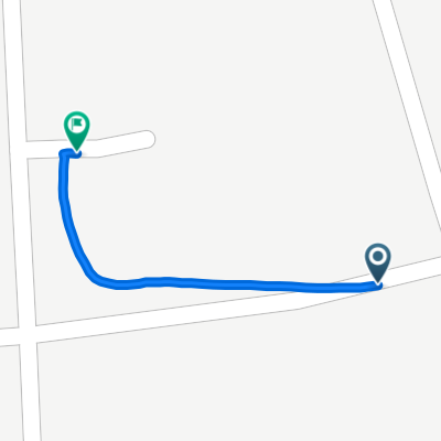
 Thiri Sanda Street, Pakokku to Thiri Sanda Street, Pakokku
- Distance
- 10.2 km
- Ascent
- 37 m
- Descent
- 37 m
- Location
- Pakokku, Magway Region, Myanmar
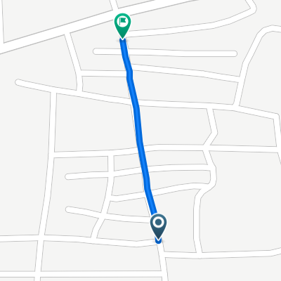
 Ku Theaina Yone Street, Pakokku to Thiri Sanda Street, Pakokku
- Distance
- 17.6 km
- Ascent
- 204 m
- Descent
- 196 m
- Location
- Pakokku, Magway Region, Myanmar
 Myoma Road, Pakokku to Thiri Sanda Street, Pakokku
- Distance
- 7.9 km
- Ascent
- 98 m
- Descent
- 95 m
- Location
- Pakokku, Magway Region, Myanmar
 Easy ride
- Distance
- 0.6 km
- Ascent
- 59 m
- Descent
- 8 m
- Location
- Pakokku, Magway Region, Myanmar
 Easy ride
- Distance
- 0.7 km
- Ascent
- 61 m
- Descent
- 24 m
- Location
- Pakokku, Magway Region, Myanmar
 MyanmarMagwayPakokku to MyanmarMagwayPakokku
- Distance
- 5.4 km
- Ascent
- 20 m
- Descent
- 15 m
- Location
- Pakokku, Magway Region, Myanmar