
Cycling in Hpa-An
Discover a map of 14 cycling routes and bike trails near Hpa-An, created by our community.
Region portrait
Get to know Hpa-An
Find the right bike route for you through Hpa-An, where we've got 14 cycle routes to explore.
623 km
Tracked distance
14
Cycle routes
50,000
Population
Community
Most active users in Hpa-An


From our community
The best bike routes in and around Hpa-An

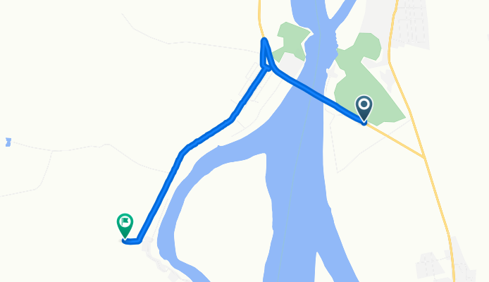
Brief bike tour through Hpa Ann 1
Cycling route in Hpa-An, Kayin State, Myanmar
- 5.8 km
- Distance
- 37 m
- Ascent
- 43 m
- Descent

bike tour through ka toe
Cycling route in Hpa-An, Kayin State, Myanmar
- 25.9 km
- Distance
- 40 m
- Ascent
- 41 m
- Descent

Easy ride in Hpa-An
Cycling route in Hpa-An, Kayin State, Myanmar
- 35.2 km
- Distance
- 257 m
- Ascent
- 257 m
- Descent
Discover more routes
 Recording from July 27, 15:05
- Distance
- 7.2 km
- Ascent
- 54 m
- Descent
- 37 m
- Location
- Hpa-An, Kayin State, Myanmar
 Moderate route in Myanmar (Burma)
- Distance
- 88.9 km
- Ascent
- 234 m
- Descent
- 224 m
- Location
- Hpa-An, Kayin State, Myanmar
 Hpa - Mawlamyine
- Distance
- 42.9 km
- Ascent
- 108 m
- Descent
- 110 m
- Location
- Hpa-An, Kayin State, Myanmar
 round city
- Distance
- 11 km
- Ascent
- 23 m
- Descent
- 23 m
- Location
- Hpa-An, Kayin State, Myanmar
 ffddddd
- Distance
- 90.2 km
- Ascent
- 179 m
- Descent
- 162 m
- Location
- Hpa-An, Kayin State, Myanmar
 hpaan to thaton
- Distance
- 23.1 km
- Ascent
- 68 m
- Descent
- 64 m
- Location
- Hpa-An, Kayin State, Myanmar
 201602_hpaan to thaton
- Distance
- 51.9 km
- Ascent
- 77 m
- Descent
- 78 m
- Location
- Hpa-An, Kayin State, Myanmar
 hpaan to thaton
- Distance
- 53.1 km
- Ascent
- 96 m
- Descent
- 96 m
- Location
- Hpa-An, Kayin State, Myanmar