
Cycling in Gyeongju
Discover a map of 129 cycling routes and bike trails near Gyeongju, created by our community.
Region portrait
Get to know Gyeongju
Find the right bike route for you through Gyeongju, where we've got 129 cycle routes to explore. Most people get on their bikes to ride here in the months of July and August.
4,658 km
Tracked distance
129
Cycle routes
155,237
Population
Community
Most active users in Gyeongju
From our community
The best bike routes in and around Gyeongju
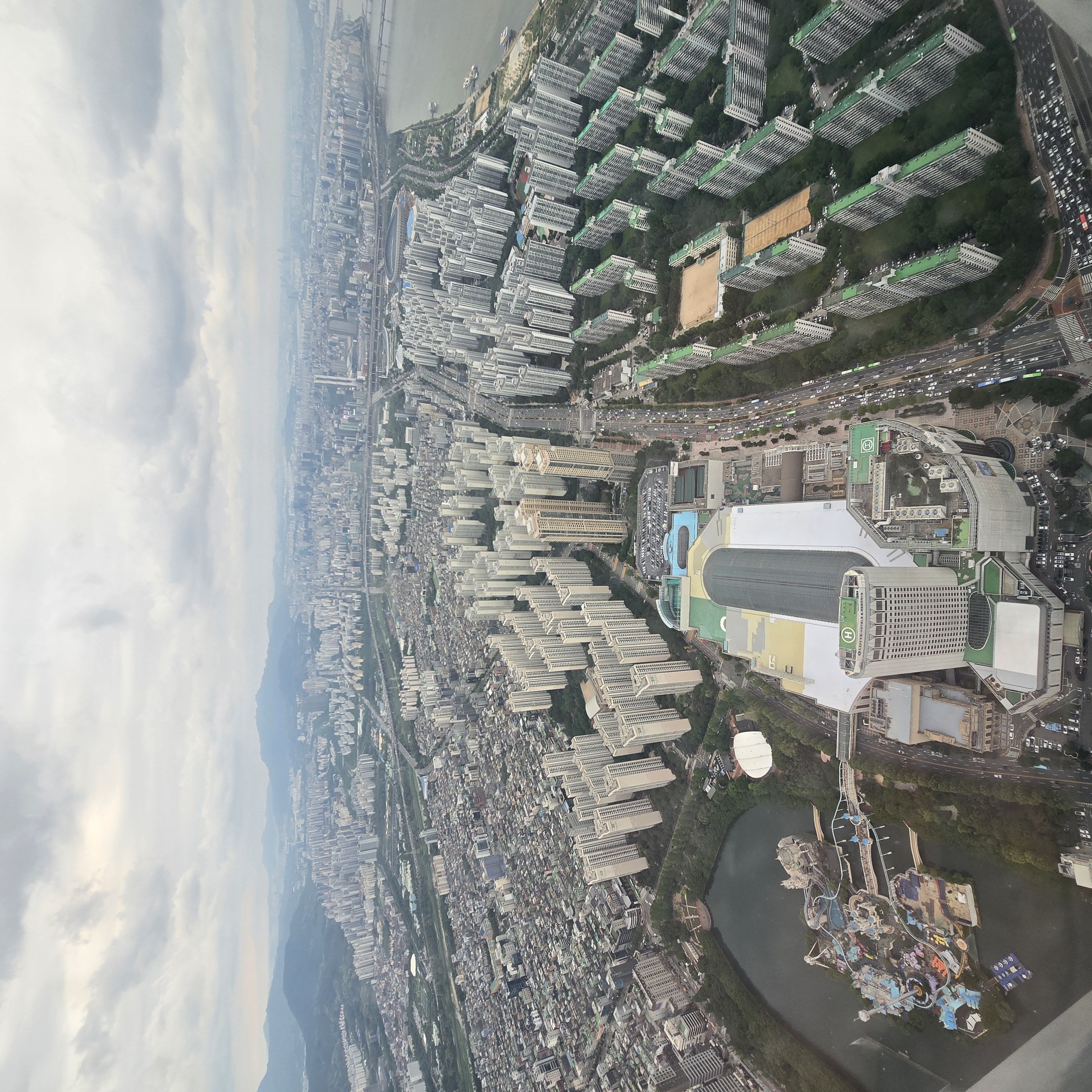
![Ph0]에서 경로충효동](https://media.bikemap.net/routes/17681436/gallery/thumbs/7202d46d-dab1-4e62-b173-618103c0e371.jpg.0x384_q80.jpg)
![Ph0]에서 경로충효동](https://media.bikemap.net/routes/17681436/gallery/thumbs/02d46cea-7ea5-4d38-b0f9-0a142b639a2f.jpg.0x384_q80.jpg)
![Ph0]에서 경로충효동](https://media.bikemap.net/routes/17681436/gallery/thumbs/e00f821b-ef93-44e0-a06b-8c704146d410.jpg.0x384_q80.jpg)
![Ph0]에서 경로충효동](https://media.bikemap.net/routes/17681436/staticmaps/in_da30c71e-3df4-4b55-8acf-6f05feff69ab_694x400_bikemap-2021-3D-static.png)
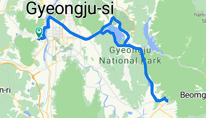
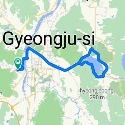
Ph0]에서 경로충효동
Cycling route in Gyeongju, Gyeongsangbuk-do, South Korea
- 62 km
- Distance
- 850 m
- Ascent
- 886 m
- Descent


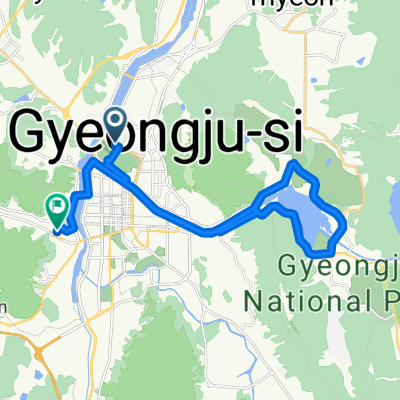
편안한 경로
Cycling route in Gyeongju, Gyeongsangbuk-do, South Korea
- 45.3 km
- Distance
- 371 m
- Ascent
- 410 m
- Descent
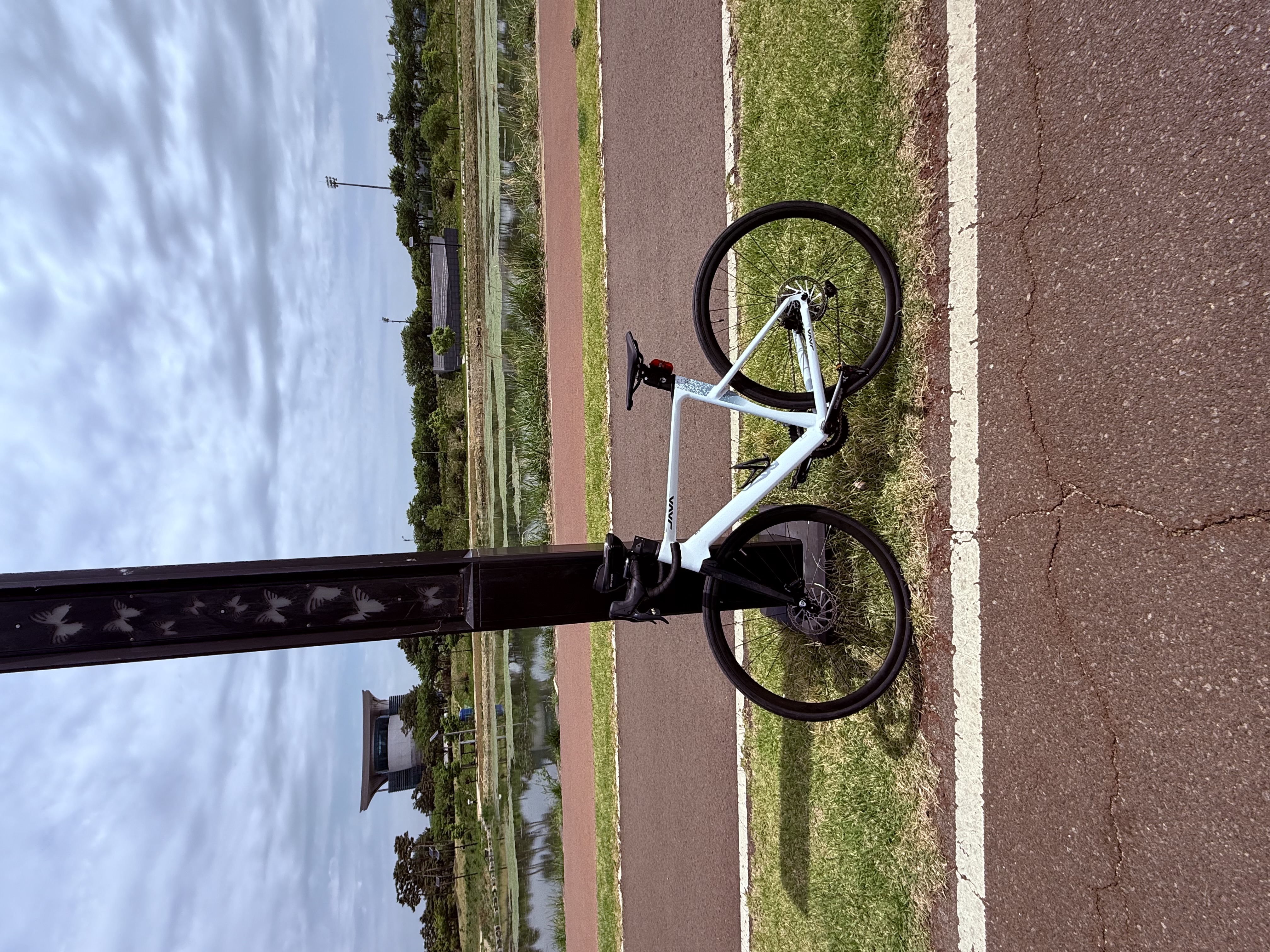
![Ph0]에서 경로북군동 11-1](https://media.bikemap.net/routes/17321743/gallery/thumbs/16e4758b-722a-401a-b822-211a2e7d452b.jpg.0x384_q80.jpg)
![Ph0]에서 경로북군동 11-1](https://media.bikemap.net/routes/17321743/gallery/thumbs/647f7049-c91a-4a13-ac6a-9f6bfa9d7833.jpg.0x384_q80.jpg)
![Ph0]에서 경로북군동 11-1](https://media.bikemap.net/routes/17321743/gallery/thumbs/f2f941a0-d1d8-4956-a1de-fb96ea0bf191.jpg.0x384_q80.jpg)
![Ph0]에서 경로북군동 11-1](https://media.bikemap.net/routes/17321743/staticmaps/in_e6ae930f-ee34-41de-a282-476ac5f5f889_694x400_bikemap-2021-3D-static.png)
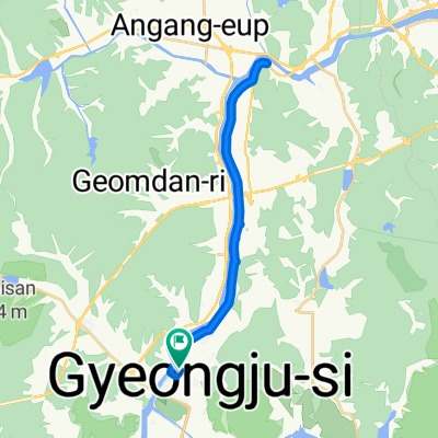
Ph0]에서 경로북군동 11-1
Cycling route in Gyeongju, Gyeongsangbuk-do, South Korea
- 729.6 km
- Distance
- 26,913 m
- Ascent
- 26,991 m
- Descent


성건동, 경주시에서 약성리, 포항시까지
Cycling route in Gyeongju, Gyeongsangbuk-do, South Korea
- 46.9 km
- Distance
- 330 m
- Ascent
- 369 m
- Descent
Discover more routes
 경주 자전거코스
- Distance
- 32.4 km
- Ascent
- 932 m
- Descent
- 932 m
- Location
- Gyeongju, Gyeongsangbuk-do, South Korea
 경주(낭산의 신비를 찾아서)
- Distance
- 14.4 km
- Ascent
- 128 m
- Descent
- 111 m
- Location
- Gyeongju, Gyeongsangbuk-do, South Korea
![Ph0]에서 경로충효동 117-4](https://media.bikemap.net/routes/17519728/staticmaps/in_8151b71c-61ef-451f-aa6a-ab795a0b558f_400x400_bikemap-2021-3D-static.png) Ph0]에서 경로충효동 117-4
Ph0]에서 경로충효동 117-4- Distance
- 28.2 km
- Ascent
- 131 m
- Descent
- 161 m
- Location
- Gyeongju, Gyeongsangbuk-do, South Korea
 경주 KTX-24블루원고개-35불국로고개-55기림로고개-75방산로고개-103숙소-120추령-남산
- Distance
- 143.3 km
- Ascent
- 2,422 m
- Descent
- 2,454 m
- Location
- Gyeongju, Gyeongsangbuk-do, South Korea
 편안한 경로
- Distance
- 39.7 km
- Ascent
- 225 m
- Descent
- 259 m
- Location
- Gyeongju, Gyeongsangbuk-do, South Korea
 천군동 168-6, 경주시 ~ 천군동 206-13, 경주시
- Distance
- 27.8 km
- Ascent
- 149 m
- Descent
- 147 m
- Location
- Gyeongju, Gyeongsangbuk-do, South Korea
 20250617
- Distance
- 30 km
- Ascent
- 43 m
- Descent
- 86 m
- Location
- Gyeongju, Gyeongsangbuk-do, South Korea
 초음속 경로
- Distance
- 34.4 km
- Ascent
- 192 m
- Descent
- 223 m
- Location
- Gyeongju, Gyeongsangbuk-do, South Korea