Cycling in Gwangju
Discover a map of 325 cycling routes and bike trails in Gwangju, created by our community.
Region portrait
Get to know Gwangju
Find the right bike route for you through Gwangju, where we've got 325 cycle routes to explore. Most people get on their bikes to ride here in the months of July and October.
9,067 km
Tracked distance
325
Cycle routes
Community
Most active users in Gwangju
From our community
The best bike routes in Gwangju
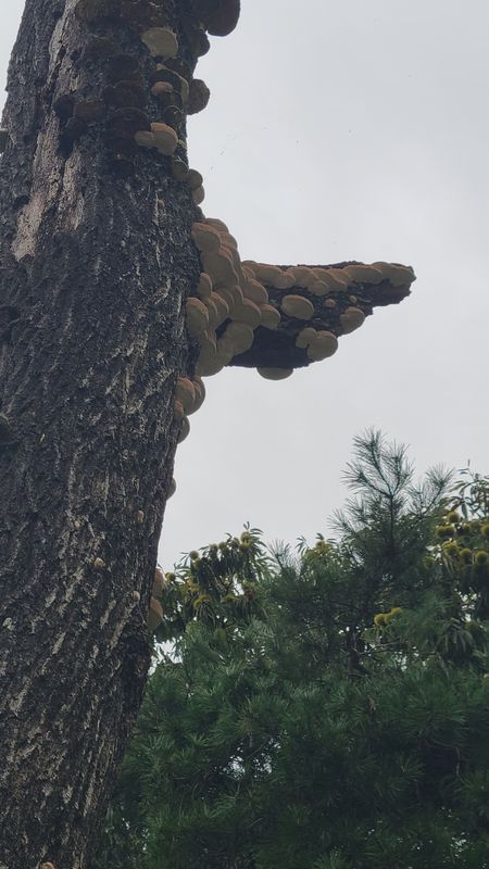
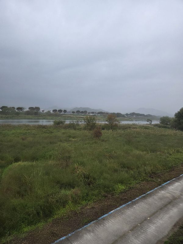
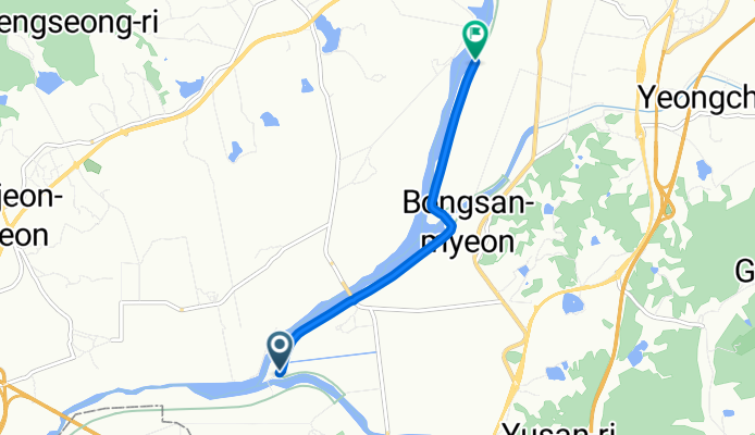
Ph0]에서 경로봉산면 1197-7
Cycling route in Gwangju, Gwangju, South Korea
- 5.7 km
- Distance
- 18 m
- Ascent
- 29 m
- Descent
Ph0]에서 경로담양읍 125-1
Cycling route in Gwangju, Gwangju, South Korea
- 20.3 km
- Distance
- 61 m
- Ascent
- 111 m
- Descent
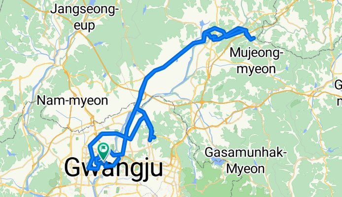
신창동 1108-2 ~ 대한민국
Cycling route in Gwangju, Gwangju, South Korea
- 90.4 km
- Distance
- 651 m
- Ascent
- 697 m
- Descent
Discover more routes
 신가동 992-1 ~ 대한민국
- Distance
- 1.4 km
- Ascent
- 89 m
- Descent
- 114 m
- Location
- Gwangju, Gwangju, South Korea
 남면 863-1 ~ 남면 874-3
- Distance
- 3.8 km
- Ascent
- 18 m
- Descent
- 51 m
- Location
- Gwangju, Gwangju, South Korea
 호동로, 광주광역시에서 우산동, 광주광역시까지
- Distance
- 32.9 km
- Ascent
- 103 m
- Descent
- 99 m
- Location
- Gwangju, Gwangju, South Korea
 느린 주행
느린 주행- Distance
- 10 km
- Ascent
- 68 m
- Descent
- 80 m
- Location
- Gwangju, Gwangju, South Korea
 계림동 ~ 계림동 523-15
- Distance
- 10.4 km
- Ascent
- 136 m
- Descent
- 177 m
- Location
- Gwangju, Gwangju, South Korea
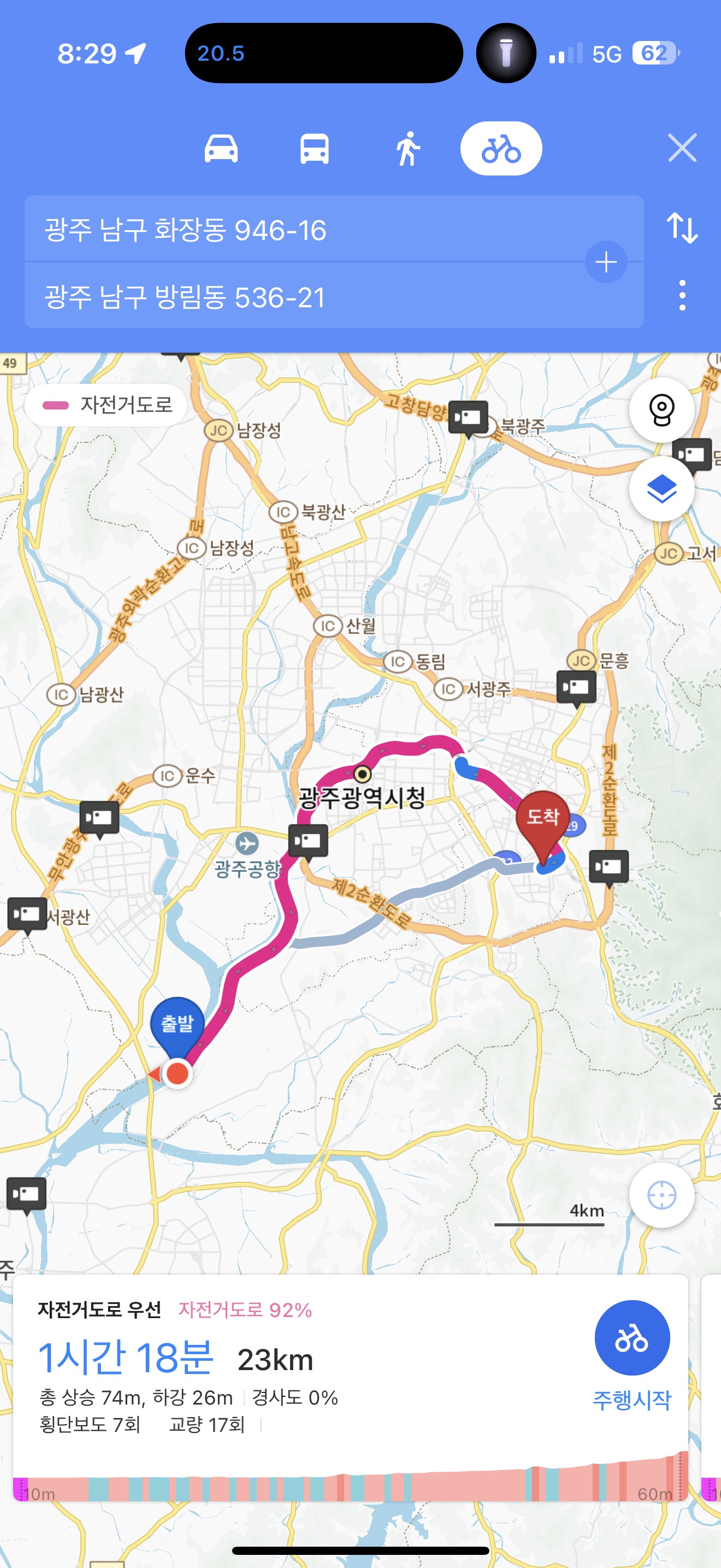 광주천 라읻
- Distance
- 44.4 km
- Ascent
- 110 m
- Descent
- 119 m
- Location
- Gwangju, Gwangju, South Korea
 대남대로85번길, 광주광역시에서 방림동, 광주광역시까지
- Distance
- 25.4 km
- Ascent
- 97 m
- Descent
- 99 m
- Location
- Gwangju, Gwangju, South Korea
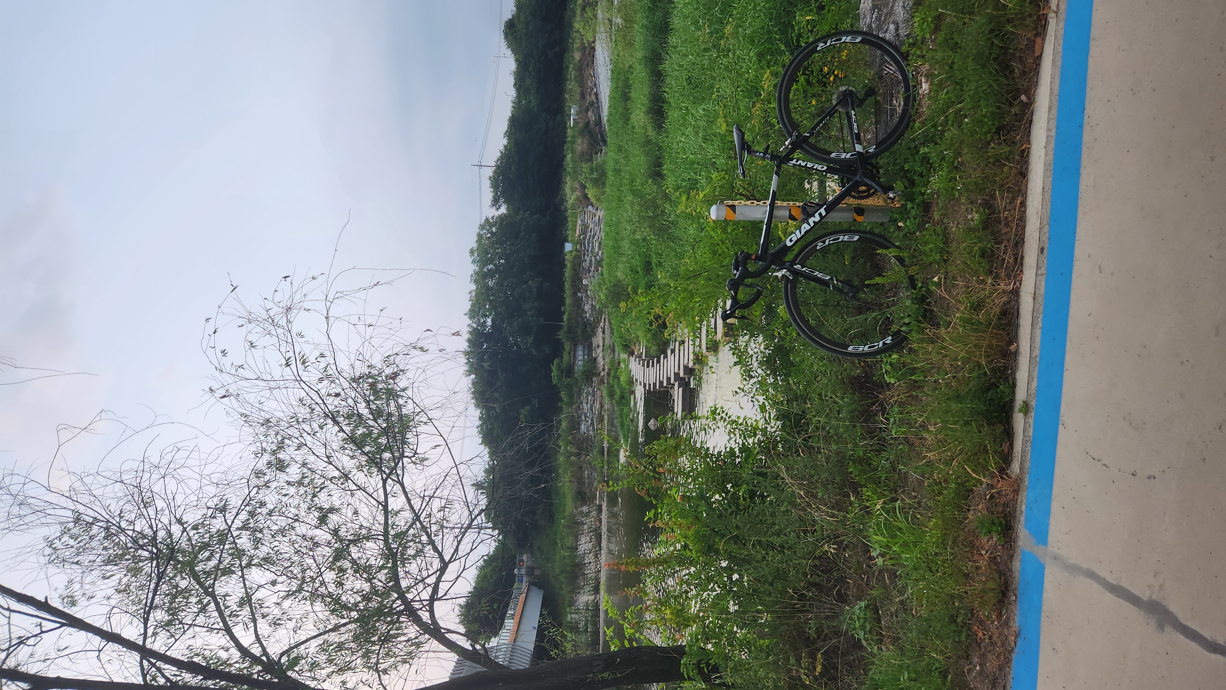 서석동 422-17 ~ 서석동 422-16
- Distance
- 20.6 km
- Ascent
- 60 m
- Descent
- 86 m
- Location
- Gwangju, Gwangju, South Korea
Cycling regions in Gwangju
Gwangju
325 cycling routes
See where people are biking in South Korea
Popular cycling regions in South Korea


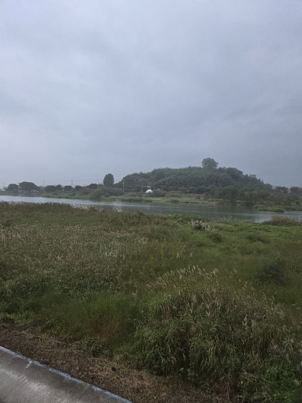

![Ph0]에서 경로봉산면 1197-7](https://media.bikemap.net/routes/17656637/gallery/thumbs/90afd928-d34c-4ea6-a2b3-bb9aed911fc3.jpg.0x800_q80.jpg)
![Ph0]에서 경로봉산면 1197-7](https://media.bikemap.net/routes/17656637/gallery/thumbs/83d02bcb-8703-436b-91be-af6e8ac2f744.jpg.0x800_q80.jpg)
![Ph0]에서 경로봉산면 1197-7](https://media.bikemap.net/routes/17656637/gallery/thumbs/6f9e0816-c3f0-4d6d-88ea-0253e39ca6e6.jpg.0x800_q80.jpg)
![Ph0]에서 경로봉산면 1197-7](https://media.bikemap.net/routes/17656637/staticmaps/in_f1c0806d-bace-4303-bde8-f74270e883f3_694x400_bikemap-2021-3D-static.png)
![Ph0]에서 경로담양읍 125-1](https://media.bikemap.net/routes/17660114/gallery/thumbs/f8457a01-53cd-4d33-90a0-a60c5324934f.jpg.0x800_q80.jpg)
![Ph0]에서 경로담양읍 125-1](https://media.bikemap.net/routes/17660114/gallery/thumbs/eae15ea7-972a-4cd1-be38-5781ab2c1c74.jpg.0x800_q80.jpg)
![Ph0]에서 경로담양읍 125-1](https://media.bikemap.net/routes/17660114/gallery/thumbs/d3560fd0-820c-4d46-8936-c9fe3f9b689f.jpg.0x800_q80.jpg)
![Ph0]에서 경로담양읍 125-1](https://media.bikemap.net/routes/17660114/staticmaps/in_718ec430-e2a5-4981-88ae-2583d53b7381_694x400_bikemap-2021-3D-static.png)
