
Cycling in Tokushima
Discover a map of 195 cycling routes and bike trails in Tokushima, created by our community.
Region portrait
Get to know Tokushima
Find the right bike route for you through Tokushima, where we've got 195 cycle routes to explore. Most people get on their bikes to ride here in the months of March and May.
26,847 km
Tracked distance
195
Cycle routes


From our community
The best bike routes in Tokushima

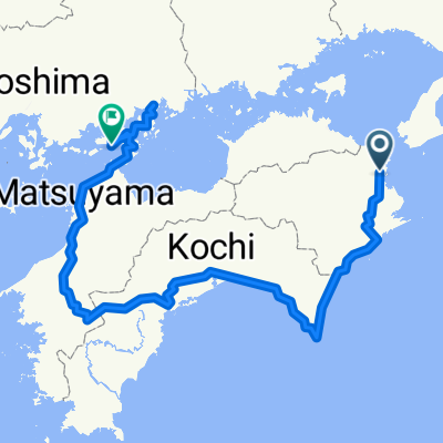
Saiwaicho 2-Chōme, Tokushima to Higashisakuramachi, Fukuyama
Cycling route in Tokushima, Tokushima, Japan
- 165.6 km
- Distance
- 1,846 m
- Ascent
- 1,839 m
- Descent

Nakatorimachi 2-Chōme, Tokushima to Higashisakuramachi, Fukuyama
Cycling route in Tokushima, Tokushima, Japan
- 168.7 km
- Distance
- 1,857 m
- Ascent
- 1,849 m
- Descent


Kita, Naruto to Otsu, Mitoyo
Cycling route in Narutochō-mitsuishi, Tokushima, Japan
- 119 km
- Distance
- 952 m
- Ascent
- 951 m
- Descent
Discover more routes
 4guo
4guo- Distance
- 991.3 km
- Ascent
- 1,801 m
- Descent
- 1,800 m
- Location
- Tokushima, Tokushima, Japan
 Around Shikoku 2024
- Distance
- 930.7 km
- Ascent
- 11,371 m
- Descent
- 11,342 m
- Location
- Tokushima, Tokushima, Japan
 Japan 1a
- Distance
- 72.4 km
- Ascent
- 531 m
- Descent
- 533 m
- Location
- Tokushima, Tokushima, Japan
 德島Tokushima-室戶Muroto P-D2
- Distance
- 129.9 km
- Ascent
- 894 m
- Descent
- 890 m
- Location
- Tokushima, Tokushima, Japan
 Tour de Shikoku
- Distance
- 792.2 km
- Ascent
- 1,500 m
- Descent
- 1,503 m
- Location
- Tokushima, Tokushima, Japan
 Peeing in the Iya Valley - Peeing in the Iya Valley
- Distance
- 87.8 km
- Ascent
- 7,240 m
- Descent
- 7,242 m
- Location
- Ikedachō, Tokushima, Japan
 Iya Valley to Tokushima
- Distance
- 110.6 km
- Ascent
- 213 m
- Descent
- 611 m
- Location
- Ikedachō, Tokushima, Japan
 Japan IV
- Distance
- 636.6 km
- Ascent
- 1,462 m
- Descent
- 1,467 m
- Location
- Tokushima, Tokushima, Japan
Cycling regions in Tokushima
Ikedachō
34 cycling routes
Ishii
8 cycling routes
Anan
18 cycling routes
Tokushima
74 cycling routes
Narutochō-mitsuishi
30 cycling routes
See where people are biking in Japan

