
Cycling in Ōbu
Discover a map of 103 cycling routes and bike trails near Ōbu, created by our community.
Region portrait
Get to know Ōbu
Find the right bike route for you through Ōbu, where we've got 103 cycle routes to explore. Most people get on their bikes to ride here in the months of August and September.
2,347 km
Tracked distance
103
Cycle routes
77,864
Population
Community
Most active users in Ōbu


From our community
The best bike routes in and around Ōbu


Discover more routes
 ⑭ゴーーーーール
- Distance
- 8.2 km
- Ascent
- 75 m
- Descent
- 43 m
- Location
- Ōbu, Aichi, Japan
 天宝新田, 東海市 まで2丁目, 半田市
- Distance
- 17.9 km
- Ascent
- 138 m
- Descent
- 113 m
- Location
- Ōbu, Aichi, Japan
 1-2-205, Tsutsujigaoka 2-Chōme, Chita a 14, Tsutsujigaoka 1-Chōme, Chita
- Distance
- 27.3 km
- Ascent
- 369 m
- Descent
- 367 m
- Location
- Ōbu, Aichi, Japan
 森岡町5丁目1, 大府市 to 富士見町2丁目613-3, 刈谷市
- Distance
- 33.5 km
- Ascent
- 264 m
- Descent
- 285 m
- Location
- Ōbu, Aichi, Japan
 4-chōme, Nagoya nach 2-chōme 19, Nagoya
- Distance
- 16.6 km
- Ascent
- 165 m
- Descent
- 182 m
- Location
- Ōbu, Aichi, Japan
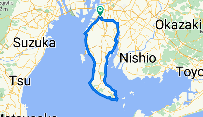
 Naganecho 2-Chōme, Obu-Shi to Naganecho 2-Chōme, Obu-Shi
- Distance
- 107.3 km
- Ascent
- 410 m
- Descent
- 410 m
- Location
- Ōbu, Aichi, Japan
 Easy Domingo Route In Minami-Ku, Nagoya-Shi
- Distance
- 4 km
- Ascent
- 52 m
- Descent
- 51 m
- Location
- Ōbu, Aichi, Japan
 Nagoya to Tokyo
- Distance
- 356.5 km
- Ascent
- 1,608 m
- Descent
- 1,602 m
- Location
- Ōbu, Aichi, Japan